Closed · Ukraine
Mykolaiv International AirportUKON
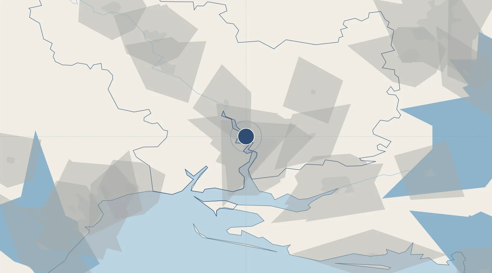
47.0579°, 31.9198°
8,438 ft
Longest runway
2
Runways
184 ft
Elevation
Runway & Layout

Radio Frequencies
TWR
120.7 MHz
Runways · 2
| Runway | Dimensions | Surface | True heading | Lit |
|---|---|---|---|---|
| 05/23 | 8,438 × 144ft | Asphalt | 051° | ✓ |
| 05L/23R | 5,905 × 250ft | Grass | 051° | — |
Airport Specifications
Airport class
Closed
Scheduled service
Yes
Runway surface
Asphalt
Served city
Mykolaiv
Location
Nearby Logistics Neighbours
Airports
- 1Kherson International Airport62 km
- 2Odesa International Airport118 km
- 3Kryvyi Rih International Airport146 km
- 4Dolgintsevo Air Base152 km
- 5Tiraspol Airfield178 km
Cities
- 1Mykolayiv12 km
- 2Mykolaiv15 km
- 3Olviia25 km
- 4Ochakiv58 km
- 5Chernobayevka64 km
Ports
- 1Mykolayiv13 km
- 2Port Oktyabrsk25 km
- 3Kherson71 km
- 4Yuzhnyy86 km
- 5Odesa111 km
DatabookThe Record of Consolidated Knowledge
Ukraine beyond logistics?