Medium airport · Ukraine
Kherson International AirportUKOH
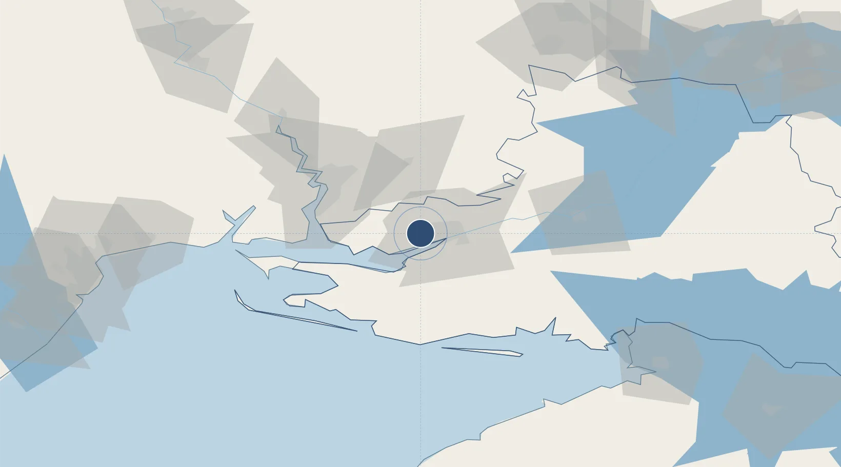
46.6758°, 32.5064°
8,202 ft
Longest runway
1
Runways
148 ft
Elevation
Runway & Layout

Runways · 1
| Runway | Dimensions | Surface | True heading | Lit |
|---|---|---|---|---|
| 03/21 | 8,202 × 138ft | CONC | — | ✓ |
Airport Specifications
IATA code
KHE
ICAO code
UKOH
Airport class
Medium airport
Scheduled service
Yes
Runway surface
CONC
Served city
Kherson
Location
Nearby Logistics Neighbours
Airports
- 1Mykolaiv International Airport62 km
- 2Odesa International Airport143 km
- 3Dolgintsevo Air Base155 km
- 4Kryvyi Rih International Airport161 km
- 5Dzhankoy Air Base183 km
Cities
- 1Chernobayevka3 km
- 2Kherson11 km
- 3Tsyurupyns'k17 km
- 4Olviia46 km
- 5Mykolaiv48 km
Ports
- 1Kherson10 km
- 2Port Oktyabrsk47 km
- 3Mykolayiv50 km
- 4Skadovs'k71 km
- 5Yuzhnyy114 km
DatabookThe Record of Consolidated Knowledge
Ukraine beyond logistics?