Transport Functions
Rail
Road
Hub Profile
Region
65
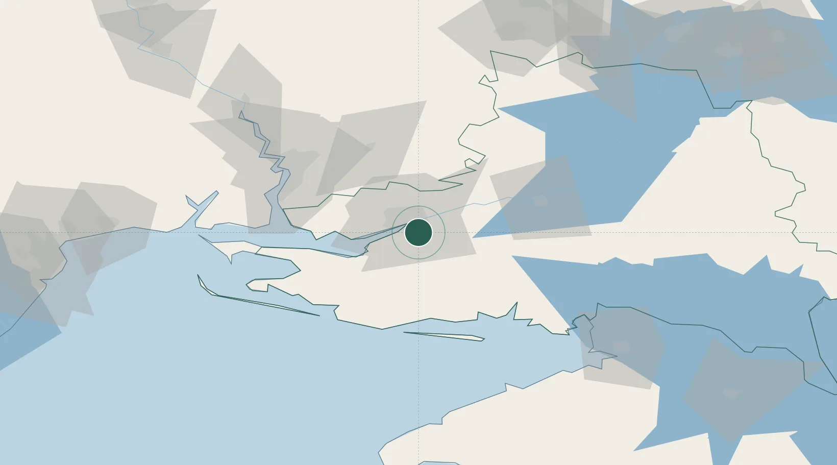
Location
Nearby Logistics Neighbours
Cities
- 1Kherson7 km
- 2Chernobayevka15 km
- 3Nova Kakhovka54 km
- 4Krasne54 km
- 5Skadovsk58 km
Ports
- 1Kherson8 km
- 2Skadovs'k58 km
- 3Port Oktyabrsk64 km
- 4Mykolayiv67 km
- 5Yuzhnyy129 km
Airports
DatabookThe Record of Consolidated Knowledge
Ukraine beyond logistics?