Transport Functions
Multimodal
Hub Profile
Place type
Populated place
Region
Chernihiv
Population
10,935
Time zone
Europe/Kyiv
Elevation
129 m
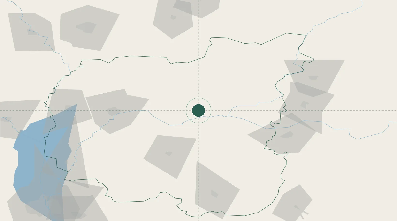
Location
Nearby Logistics Neighbours
Ports
- 1Mykolayiv508 km
- 2Port Oktyabrsk521 km
- 3Kherson546 km
- 4Yuzhnyy554 km
- 5Odesa570 km
Airports
- 1Nizhyn Air Base53 km
- 2Gomel Airport139 km
- 3Boryspil International Airport160 km
- 4Hostomel Airport174 km
- 5Ihor Sikorsky Kyiv International Airport (Zhuliany)175 km
Trade Zones
DatabookThe Record of Consolidated Knowledge
Ukraine beyond logistics?