Transport Functions
Multimodal
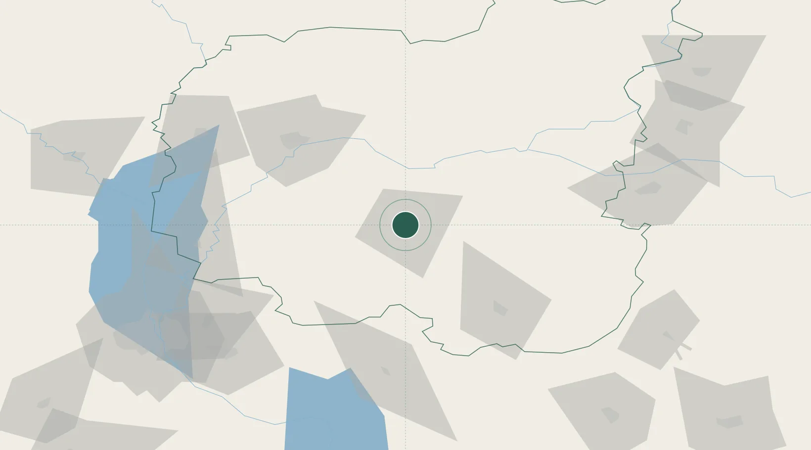
Hub Profile
Place type
Provincial seat
Region
Chernihiv
Population
66,983
Time zone
Europe/Kyiv
Elevation
128 m
Location
Nearby Logistics Neighbours
Cities
- 1Ichnya41 km
- 2Bobrovitsa49 km
- 3Mena57 km
- 4Pryluky62 km
- 5Chernihiv64 km
Ports
- 1Mykolayiv456 km
- 2Port Oktyabrsk469 km
- 3Kherson496 km
- 4Yuzhnyy499 km
- 5Odesa515 km
Airports
- 1Nizhyn Air Base4 km
- 2Boryspil International Airport105 km
- 3Ihor Sikorsky Kyiv International Airport (Zhuliany)124 km
- 4Hostomel Airport129 km
- 5Gomel Airport175 km
Trade Zones
DatabookThe Record of Consolidated Knowledge
Ukraine beyond logistics?