UN/LOCODE hub · Ukraine
UAZUD

Bobrovitsa

50.7500°, 31.3667°
1
Transport functions

Transport Functions

Multimodal
UN/LOCODE

Hub Profile

Region
74
GeoNames

Location

Location of UAZUD
Natural Earth 10m (public domain) · 74 · UAZUD · 50.75, 31.37GoogleOSMYandex

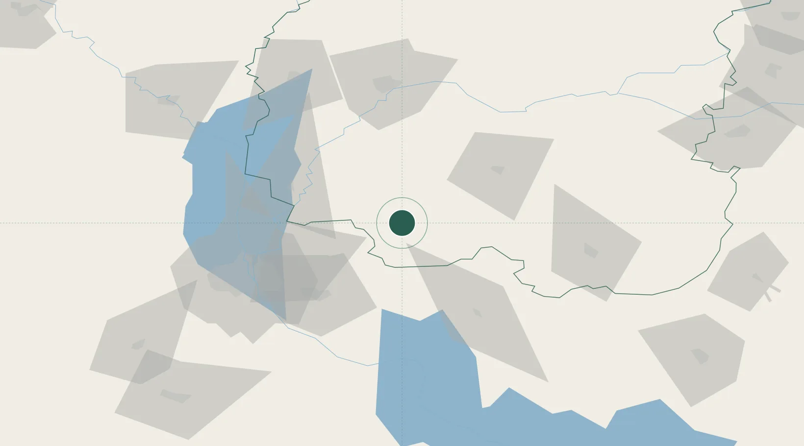
Nearby Logistics Neighbours

Cities
  1. 1Dudarkov45 km
  2. 2Nizhyn49 km
  3. 3Kyiv72 km
  4. 4Ichnya73 km
  5. 5Pryluky75 km
Nearest neighbours — logibook spatial index (haversine) over the source coordinates
Ports
  1. 1Mykolayiv425 km
  2. 2Port Oktyabrsk438 km
  3. 3Yuzhnyy462 km
  4. 4Kherson468 km
  5. 5Odesa477 km
Nearest neighbours — logibook spatial index (haversine) over the source coordinates
Airports
  1. 1Nizhyn Air Base52 km
  2. 2Boryspil International Airport56 km
  3. 3Ihor Sikorsky Kyiv International Airport (Zhuliany)75 km
  4. 4Hostomel Airport84 km
  5. 5Bila Tserkva Air Base143 km
Nearest neighbours — logibook spatial index (haversine) over the source coordinates
Trade Zones
  1. 1Slavutych Special Economic Zone96 km
  2. 2Free Economic Zone Gomel-Raton178 km
  3. 3Free Economic Zone Mogiliov320 km
  4. 4Free Enterprise Zone- Otaci Business Park364 km
  5. 5North Caucasus Resort Cluster367 km
Nearest neighbours — logibook spatial index (haversine) over the source coordinates
DatabookThe Record of Consolidated Knowledge
Ukraine beyond logistics?
Browse databook

All Sources

LocationsUN/LOCODE
UN/LOCODE — free
Portsthe NGA World Port Index
Public domain (US gov)
AirportsOurAirports
Public domain
Trade Zonesthe World Bank SEZ database
CC BY 4.0
Trade ZonesOpen Zone Map
CC BY
← Ukraine locations