UN/LOCODE hub · Ukraine
UAZUW

Nemirov

48.9667°, 28.8500°
1
Transport functions

Transport Functions

Multimodal
UN/LOCODE

Hub Profile

Region
05
GeoNames

Location

Location of UAZUW
Natural Earth 10m (public domain) · 05 · UAZUW · 48.97, 28.85GoogleOSMYandex

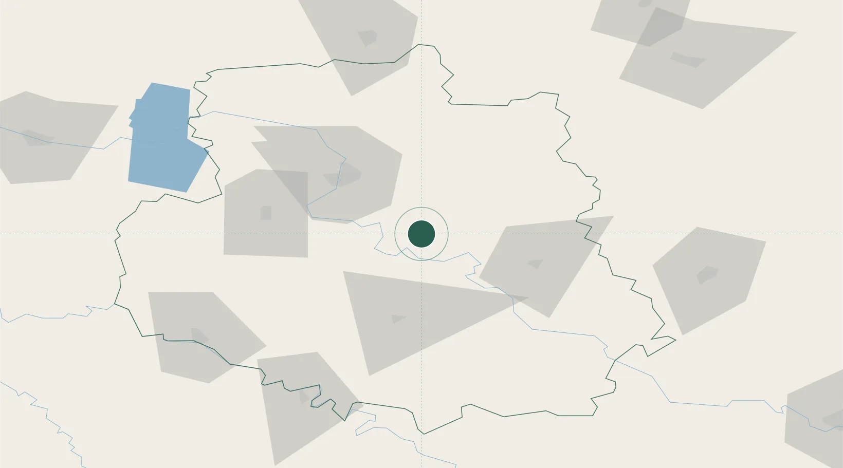
Nearby Logistics Neighbours

Cities
  1. 1Illintsi31 km
  2. 2Bar87 km
  3. 3Zhashkiv96 km
  4. 4Uman103 km
  5. 5Skvira104 km
Nearest neighbours — logibook spatial index (haversine) over the source coordinates
Ports
  1. 1Yuzhnyy309 km
  2. 2Odesa310 km
  3. 3Mykolayiv324 km
  4. 4Illichivsk326 km
  5. 5Belgorod-Dnestrovsky330 km
Nearest neighbours — logibook spatial index (haversine) over the source coordinates
Airports
  1. 1Vinnytsia/Gavyryshivka International Airport35 km
  2. 2Bila Tserkva Air Base125 km
  3. 3Mărculești Air Base132 km
  4. 4Ozerne Air Base133 km
  5. 5Khmelnytskyi Airport146 km
Nearest neighbours — logibook spatial index (haversine) over the source coordinates
DatabookThe Record of Consolidated Knowledge
Ukraine beyond logistics?
Browse databook

All Sources

LocationsUN/LOCODE
UN/LOCODE — free
Portsthe NGA World Port Index
Public domain (US gov)
AirportsOurAirports
Public domain
Trade Zonesthe World Bank SEZ database
CC BY 4.0
Trade ZonesOpen Zone Map
CC BY
← Ukraine locations