Medium airport · Moldova

Mărculești Air BaseLUBM
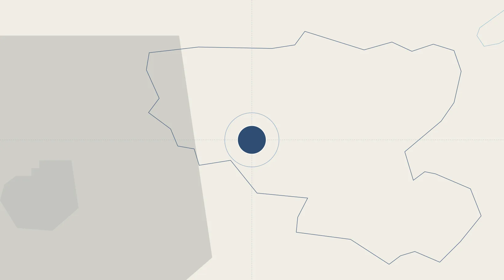
47.8627°, 28.2128°
8,235 ft
Longest runway
1
Runways
312 ft
Elevation

Runway & Layout

Mărculești Air Base runway & taxiway layout
Runway & taxiway layout — OpenStreetMap (ODbL) / OurAirports

Runways · 1

RunwayDimensions SurfaceTrue headingLit
07/25 8,235 × 129ft Concrete 071°
OurAirports

Airport Specifications

ICAO code
LUBM
OurAirports
Airport class
Medium airport
OurAirports
Scheduled service
No
OurAirports
Runway surface
Concrete
OurAirports
Served city
Mărculeşti
OurAirports

Location

Location of LUBM
Natural Earth 10m (public domain) · Floreşti · LUBM · 47.86, 28.21GoogleOSMYandex

Nearby Logistics Neighbours

Airports
  1. 1Bălți-Leadoveni International Airport32 km
  2. 2Iaşi International Airport88 km
  3. 3Chişinău International Airport117 km
  4. 4Suceava Ștefan cel Mare International Airport140 km
  5. 5Tiraspol Airfield152 km
Nearest neighbours — logibook spatial index (haversine) over the source coordinates
Cities
  1. 1Balti (Bel'cy)25 km
  2. 2Falesti51 km
  3. 3Ribnita60 km
  4. 4Kupchino67 km
  5. 5Bolotino69 km
Nearest neighbours — logibook spatial index (haversine) over the source coordinates
Ports
  1. 1Odesa245 km
  2. 2Belgorod-Dnestrovsky248 km
  3. 3Illichivsk254 km
  4. 4Yuzhnyy254 km
  5. 5Reni270 km
Nearest neighbours — logibook spatial index (haversine) over the source coordinates
DatabookThe Record of Consolidated Knowledge
Moldova beyond logistics?
Browse databook

All Sources

AirportsOurAirports
Public domain
Portsthe NGA World Port Index
Public domain (US gov)
LocationsUN/LOCODE
UN/LOCODE — free
Trade Zonesthe World Bank SEZ database
CC BY 4.0
Trade ZonesOpen Zone Map
CC BY
InfrastructureOpenStreetMap
ODbL 1.0
← Moldova airports