Transport Functions
Multimodal
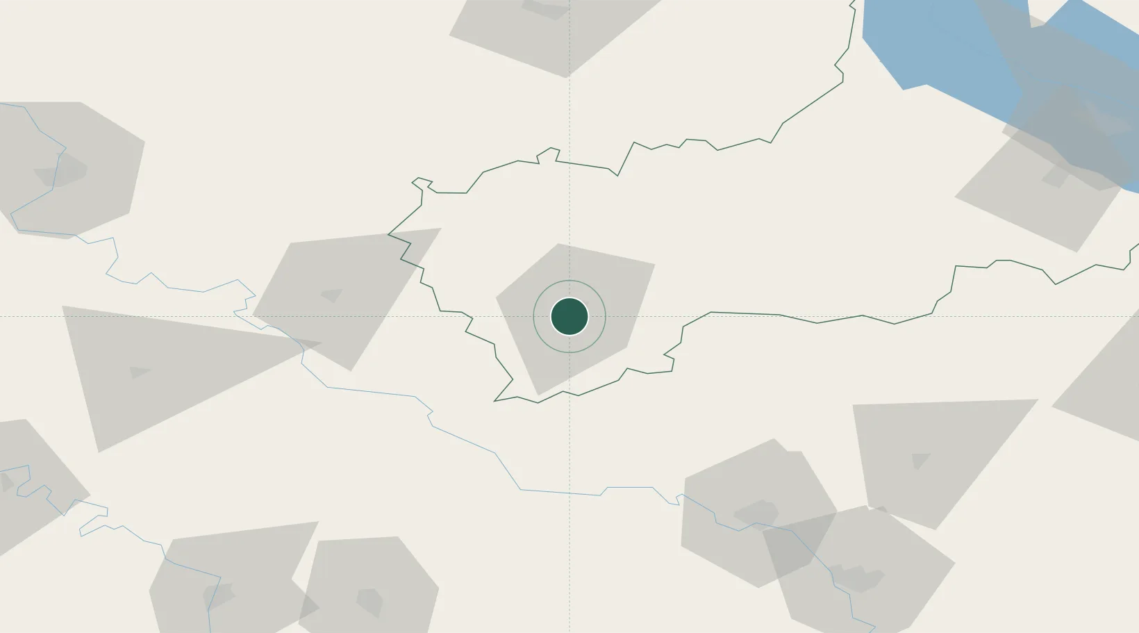
Hub Profile
Place type
Provincial seat
Region
Cherkasy
Population
100,135
Time zone
Europe/Kyiv
Elevation
197 m
Location
Nearby Logistics Neighbours
Cities
- 1Tal Ne38 km
- 2Zhashkiv56 km
- 3Illintsi85 km
- 4Podgorodnaya85 km
- 5Balta101 km
Ports
- 1Mykolayiv240 km
- 2Yuzhnyy247 km
- 3Port Oktyabrsk249 km
- 4Odesa255 km
- 5Illichivsk274 km
Airports
DatabookThe Record of Consolidated Knowledge
Ukraine beyond logistics?