Transport Functions
Road
Multimodal
Hub Profile
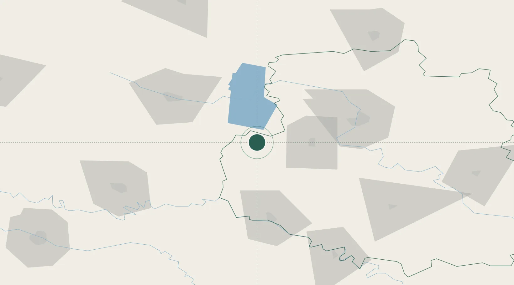
Place type
Populated place
Region
Vinnytsia
Population
15,337
Time zone
Europe/Kyiv
Elevation
300 m
Location
Nearby Logistics Neighbours
Cities
- 1Starokonstantinov83 km
- 2Bulboaca86 km
- 3Nemirov87 km
- 4Briceni91 km
- 5Kupchino110 km
Ports
- 1Odesa367 km
- 2Yuzhnyy371 km
- 3Belgorod-Dnestrovsky379 km
- 4Illichivsk380 km
- 5Mykolayiv398 km
Airports
DatabookThe Record of Consolidated Knowledge
Ukraine beyond logistics?