Transport Functions
Multimodal
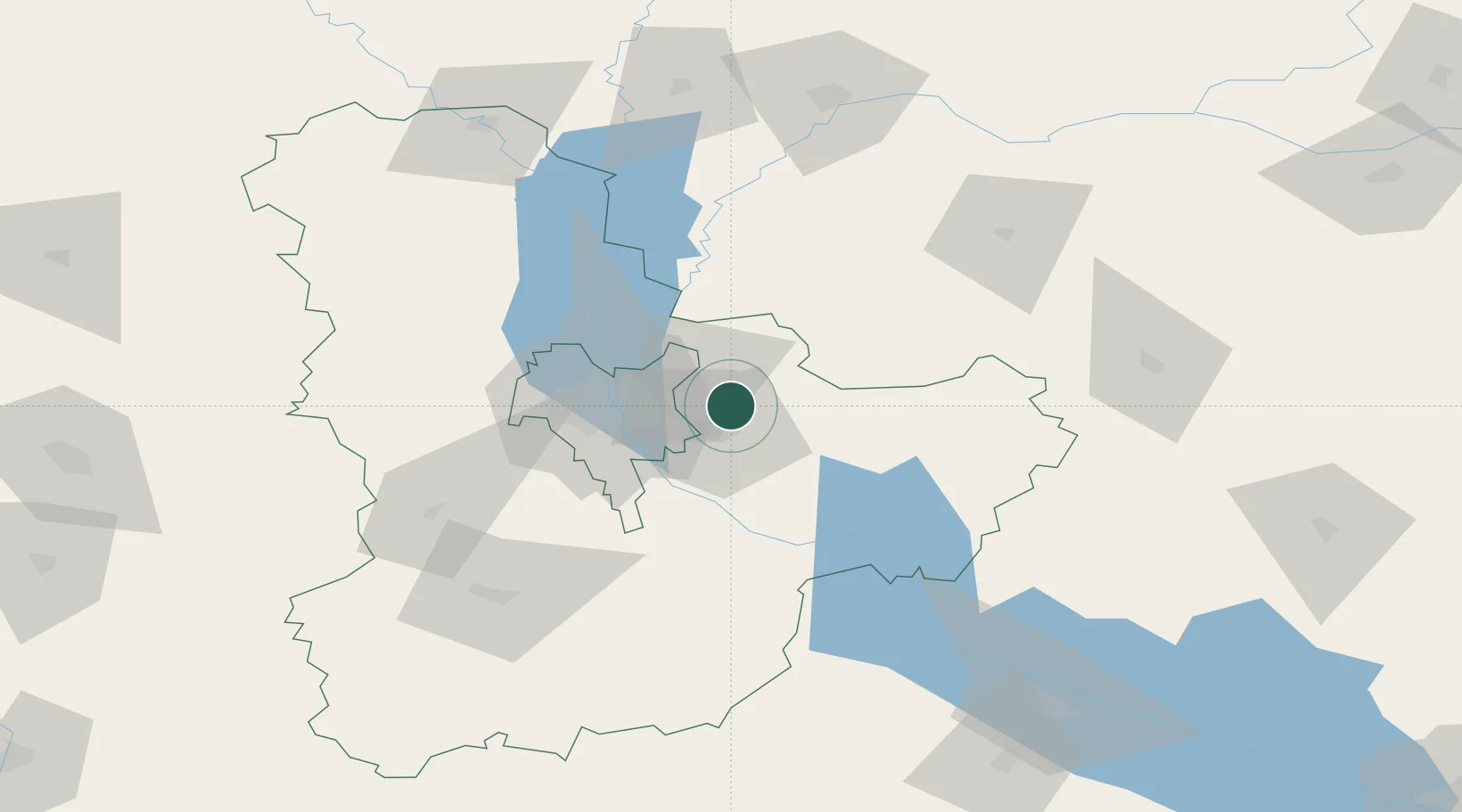
Hub Profile
Region
32
Location
Nearby Logistics Neighbours
Cities
- 1Kyiv33 km
- 2Bobrovitsa45 km
- 3Boyarka47 km
- 4Fastov84 km
- 5Kaniv86 km
Ports
- 1Mykolayiv397 km
- 2Port Oktyabrsk409 km
- 3Yuzhnyy428 km
- 4Odesa441 km
- 5Kherson443 km
Airports
Trade Zones
DatabookThe Record of Consolidated Knowledge
Ukraine beyond logistics?