Transport Functions
Rail
Airport
Postal
Hub Profile
Place type
National capital
Region
Kyiv City
Population
2,797,553
Time zone
Europe/Kyiv
Elevation
187 m
Logistics facilities
4
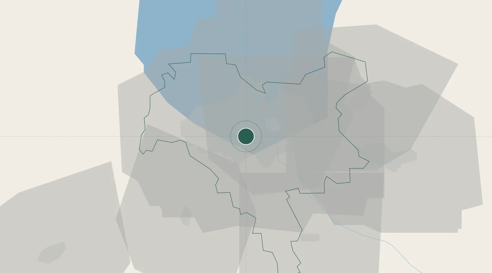
Location
Nearby Logistics Neighbours
Cities
- 1Boyarka17 km
- 2Dudarkov33 km
- 3Fastov57 km
- 4Bobrovitsa72 km
- 5Skvira97 km
Ports
- 1Mykolayiv402 km
- 2Port Oktyabrsk413 km
- 3Yuzhnyy427 km
- 4Odesa439 km
- 5Kherson451 km
Airports
Trade Zones
DatabookThe Record of Consolidated Knowledge
Ukraine beyond logistics?