UN/LOCODE hub · Ukraine
UAZPR

Zaporizhzhia

47.8516°, 35.2606°
1,073
Population
3
Transport functions

Transport Functions

Port
Airport
Multimodal
UN/LOCODE

Hub Profile

Place type
Populated place
GeoNames
Region
Zaporizhzhia
GeoNames
Population
1,073
GeoNames
Time zone
Europe/Kyiv
GeoNames
Elevation
77 m
GeoNames
Logistics facilities
1
UN/LOCODE

Location

Location of UAZPR
Natural Earth 10m (public domain) · Zaporizhzhia · UAZPR · 47.85, 35.26GoogleOSMYandex

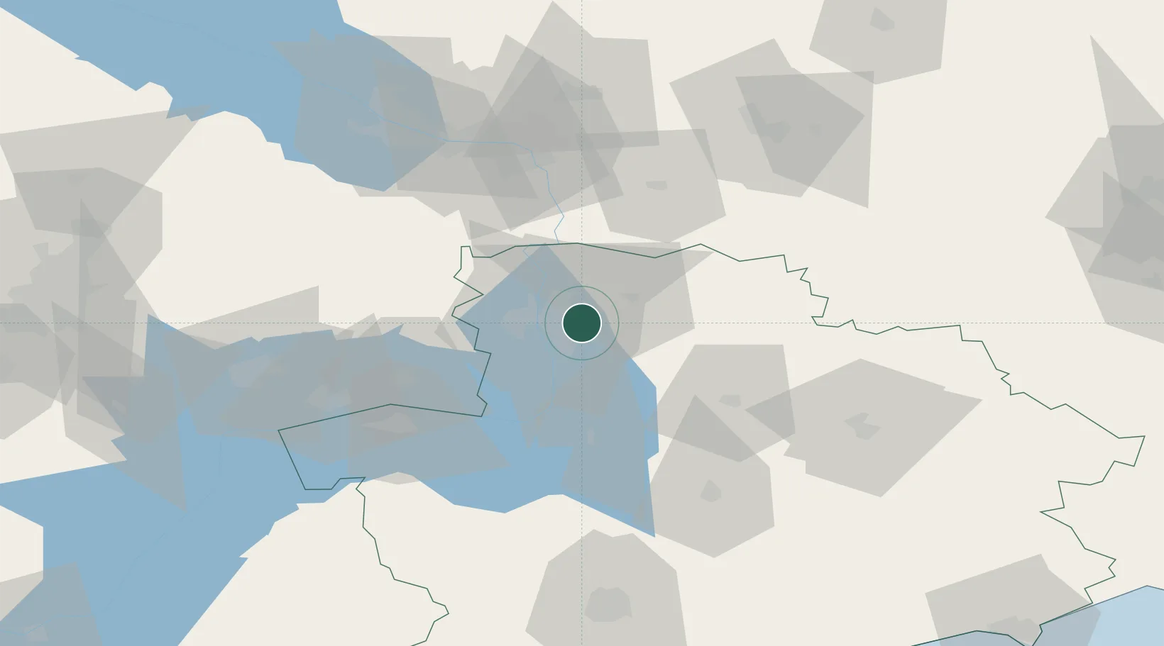
Nearby Logistics Neighbours

Cities
  1. 1Orikhiv52 km
  2. 2Nizhnedneprovsk74 km
  3. 3Plodorodnoye76 km
  4. 4Polohy85 km
  5. 5Dnipro87 km
Nearest neighbours — logibook spatial index (haversine) over the source coordinates
Ports
  1. 1Berdyansk168 km
  2. 2Mariupol193 km
  3. 3Kherson243 km
  4. 4Yeysk259 km
  5. 5Skadovs'k264 km
Nearest neighbours — logibook spatial index (haversine) over the source coordinates
Airports
  1. 1Zaporizhzhia International Airport4 km
  2. 2Dnipro International Airport58 km
  3. 3Melitopol Air Base108 km
  4. 4Dolgintsevo Air Base129 km
  5. 5Kryvyi Rih International Airport154 km
Nearest neighbours — logibook spatial index (haversine) over the source coordinates
DatabookThe Record of Consolidated Knowledge
Ukraine beyond logistics?
Browse databook

All Sources

LocationsUN/LOCODE
UN/LOCODE — free
LocationsGeoNames
CC BY 4.0
Portsthe NGA World Port Index
Public domain (US gov)
AirportsOurAirports
Public domain
Trade Zonesthe World Bank SEZ database
CC BY 4.0
Trade ZonesOpen Zone Map
CC BY
← Ukraine locations