Transport Functions
Rail
Airport
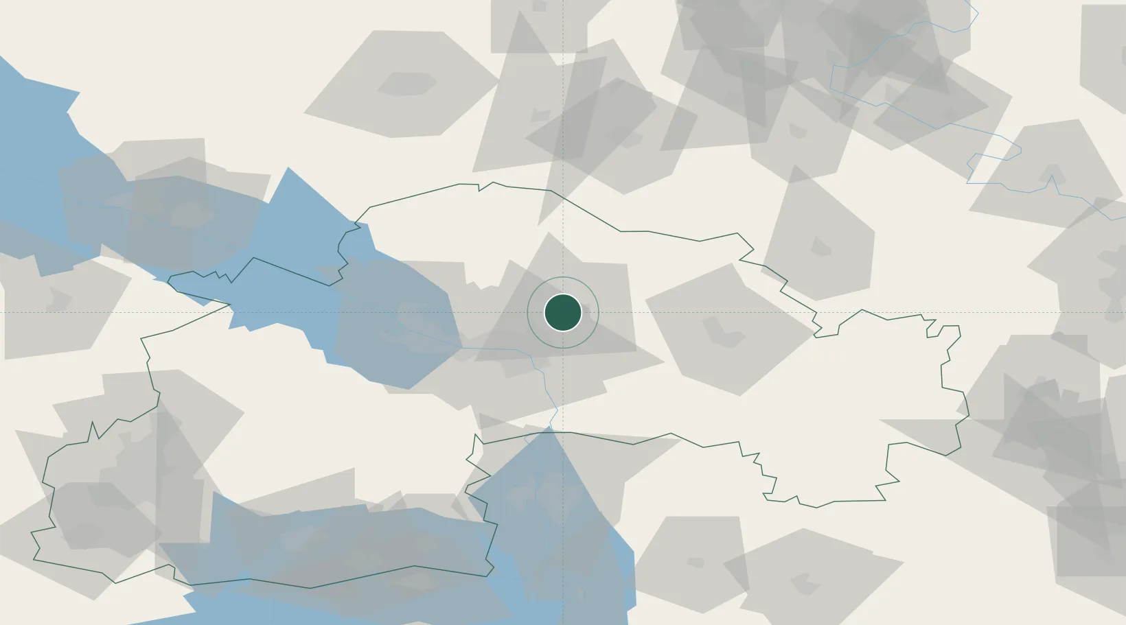
Hub Profile
Place type
Regional capital
Region
Dnipropetrovsk
Population
968,502
Time zone
Europe/Kyiv
Elevation
120 m
Logistics facilities
2
Location
Nearby Logistics Neighbours
Cities
- 1Nizhnedneprovsk19 km
- 2Dniprovs'Ke59 km
- 3Krasnograd85 km
- 4Zaporizhzhia87 km
- 5Horishni Plavni123 km
Airports
Trade Zones
DatabookThe Record of Consolidated Knowledge
Ukraine beyond logistics?