Transport Functions
Rail
Road
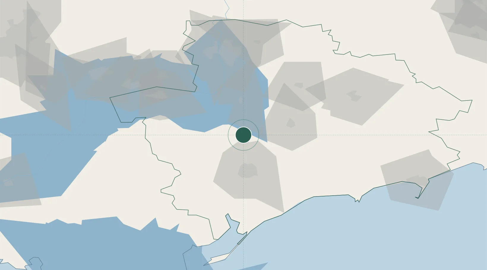
Hub Profile
Place type
Populated place
Region
Crimea
Population
300
Time zone
Europe/Simferopol
Elevation
28 m
Location
Nearby Logistics Neighbours
Cities
- 1Orikhiv55 km
- 2Zaporizhzhia76 km
- 3Polohy79 km
- 4Zolotaya Balka106 km
- 5Berdiansk119 km
Airports
- 1Melitopol Air Base32 km
- 2Zaporizhzhia International Airport78 km
- 3Berdyansk Airport116 km
- 4Dnipro International Airport133 km
- 5Dolgintsevo Air Base156 km
DatabookThe Record of Consolidated Knowledge
Ukraine beyond logistics?