Transport Functions
Rail
Road
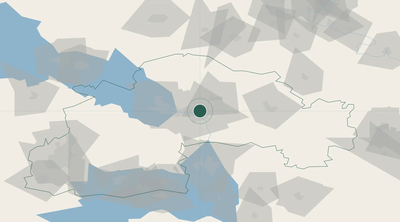
Location
Nearby Logistics Neighbours
Cities
- 1Dnipro19 km
- 2Dniprovs'Ke49 km
- 3Zaporizhzhia74 km
- 4Krasnograd102 km
- 5Orikhiv118 km
Ports
- 1Berdyansk233 km
- 2Mariupol244 km
- 3Kherson280 km
- 4Mykolayiv288 km
- 5Port Oktyabrsk299 km
Airports
- 1Dnipro International Airport16 km
- 2Zaporizhzhia International Airport73 km
- 3Dolgintsevo Air Base133 km
- 4Kryvyi Rih International Airport147 km
- 5Melitopol Air Base181 km
Trade Zones
DatabookThe Record of Consolidated Knowledge
Ukraine beyond logistics?