Transport Functions
Rail
Road
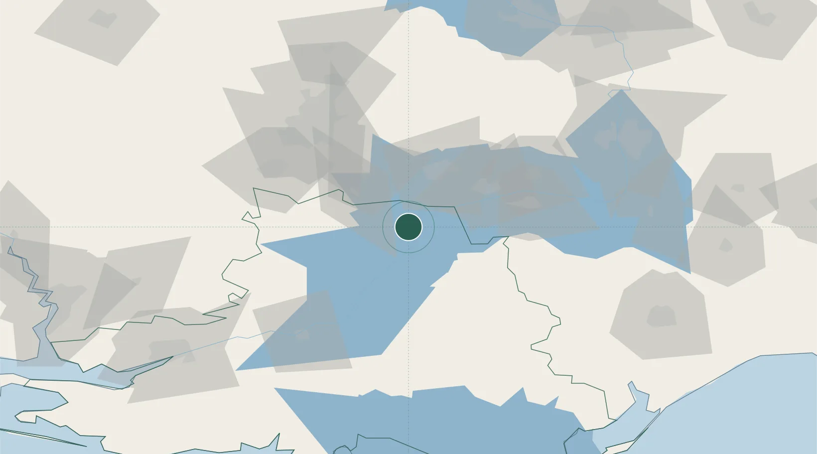
Hub Profile
Region
65
Location
Nearby Logistics Neighbours
Cities
- 1Nova Kakhovka82 km
- 2Plodorodnoye106 km
- 3Zaporizhzhia112 km
- 4Tsyurupyns'k128 km
- 5Chernobayevka131 km
Ports
- 1Kherson132 km
- 2Mykolayiv156 km
- 3Skadovs'k161 km
- 4Port Oktyabrsk164 km
- 5Berdyansk225 km
Airports
DatabookThe Record of Consolidated Knowledge
Ukraine beyond logistics?