UN/LOCODE hub · Ukraine
UATER

Terebovlya

49.2833°, 25.6833°
2
Transport functions

Transport Functions

Rail
Road
UN/LOCODE

Hub Profile

Region
61
GeoNames

Location

Location of UATER
Natural Earth 10m (public domain) · 61 · UATER · 49.28, 25.68GoogleOSMYandex

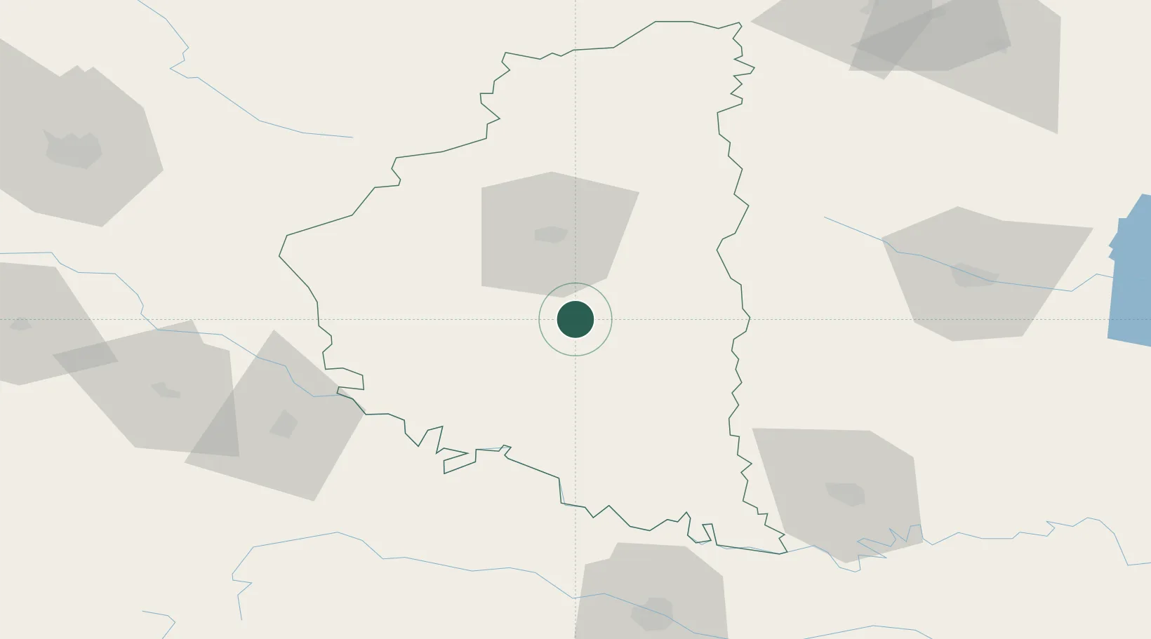
Nearby Logistics Neighbours

Cities
  1. 1Ozerna46 km
  2. 2Berezovitsa54 km
  3. 3Fagaras81 km
  4. 4Kalush100 km
  5. 5Chernivtsi (Chernovtsy)111 km
Nearest neighbours — logibook spatial index (haversine) over the source coordinates
Ports
  1. 1Galati466 km
  2. 2Reni471 km
  3. 3Braila481 km
  4. 4Odesa488 km
  5. 5Belgorod-Dnestrovsky491 km
Nearest neighbours — logibook spatial index (haversine) over the source coordinates
Airports
  1. 1Ivano-Frankivsk International Airport85 km
  2. 2Khmelnytskyi Airport91 km
  3. 3Chernivtsi International Airport116 km
  4. 4Lviv International Airport138 km
  5. 5Rivne International Airport151 km
Nearest neighbours — logibook spatial index (haversine) over the source coordinates
Trade Zones
  1. 1Special Economic Zone Kurortopolis Truskavets158 km
  2. 2Free Enterprise Zone- Otaci Business Park178 km
  3. 3Special Economic Zone Yavoriv181 km
  4. 4Special Economic Zone Interport Kovel223 km
  5. 5Free International Airport Mărculești244 km
Nearest neighbours — logibook spatial index (haversine) over the source coordinates
DatabookThe Record of Consolidated Knowledge
Ukraine beyond logistics?
Browse databook

All Sources

LocationsUN/LOCODE
UN/LOCODE — free
Portsthe NGA World Port Index
Public domain (US gov)
AirportsOurAirports
Public domain
Trade Zonesthe World Bank SEZ database
CC BY 4.0
Trade ZonesOpen Zone Map
CC BY
← Ukraine locations