UN/LOCODE hub · Ukraine
UAOZN

Ozerna

49.6167°, 25.3167°
3,451
Population
1
Transport functions

Transport Functions

Multimodal
UN/LOCODE

Hub Profile

Place type
Populated place
GeoNames
Region
Ternopil
GeoNames
Population
3,451
GeoNames
Time zone
Europe/Kyiv
GeoNames
Elevation
351 m
GeoNames

Location

Location of UAOZN
Natural Earth 10m (public domain) · Ternopil · UAOZN · 49.62, 25.32GoogleOSMYandex

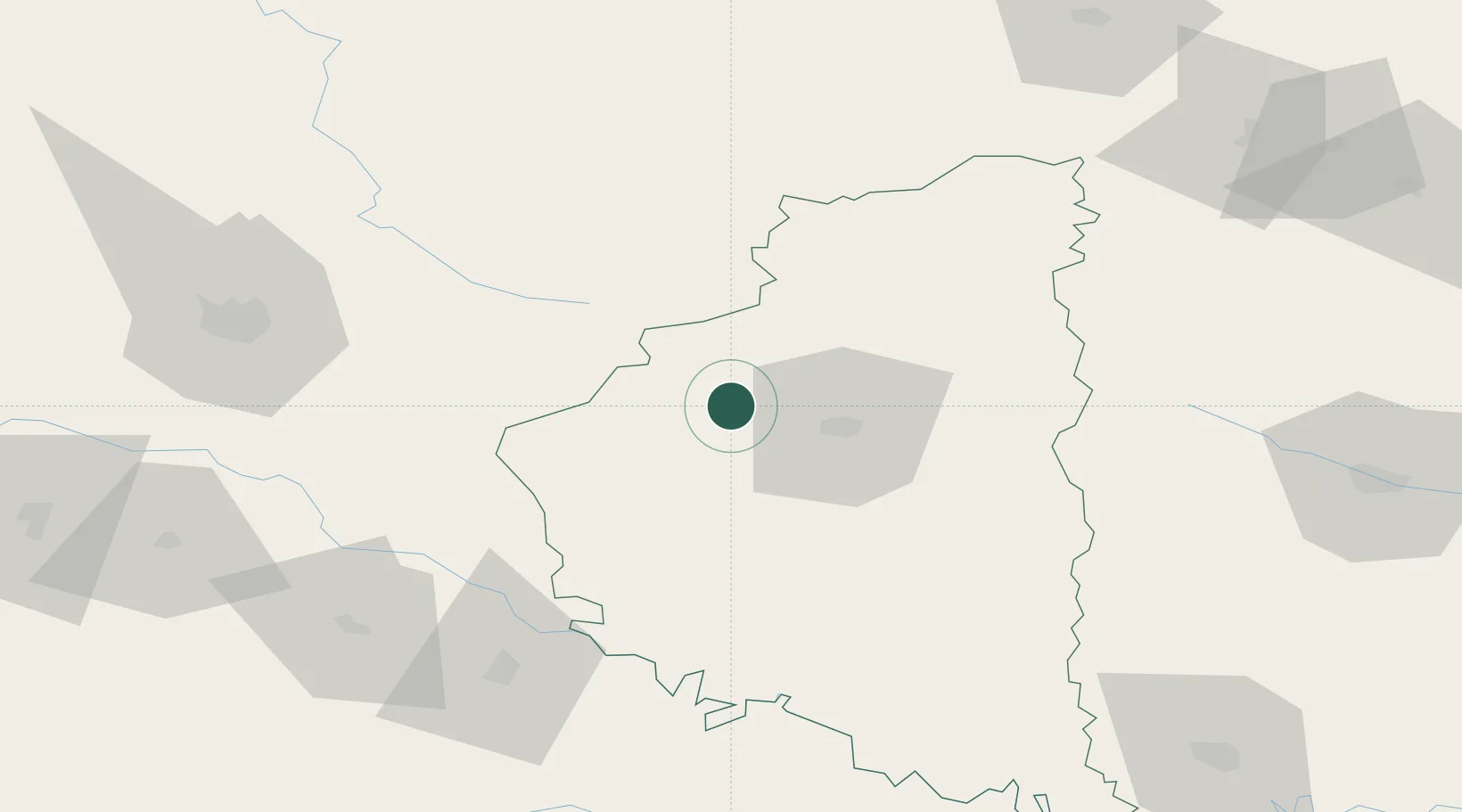
Nearby Logistics Neighbours

Cities
  1. 1Berezovitsa25 km
  2. 2Fagaras35 km
  3. 3Terebovlya46 km
  4. 4Radekhiv87 km
  5. 5Kalush96 km
Nearest neighbours — logibook spatial index (haversine) over the source coordinates
Ports
  1. 1Galati511 km
  2. 2Reni516 km
  3. 3Braila525 km
  4. 4Odesa532 km
  5. 5Belgorod-Dnestrovsky536 km
Nearest neighbours — logibook spatial index (haversine) over the source coordinates
Airports
  1. 1Ivano-Frankivsk International Airport93 km
  2. 2Lviv International Airport100 km
  3. 3Khmelnytskyi Airport120 km
  4. 4Rivne International Airport125 km
  5. 5Chernivtsi International Airport159 km
Nearest neighbours — logibook spatial index (haversine) over the source coordinates
DatabookThe Record of Consolidated Knowledge
Ukraine beyond logistics?
Browse databook

All Sources

LocationsUN/LOCODE
UN/LOCODE — free
LocationsGeoNames
CC BY 4.0
Portsthe NGA World Port Index
Public domain (US gov)
AirportsOurAirports
Public domain
Trade Zonesthe World Bank SEZ database
CC BY 4.0
Trade ZonesOpen Zone Map
CC BY
← Ukraine locations