UN/LOCODE hub · Ukraine
UACWC

Chernivtsi (Chernovtsy)

48.3000°, 25.9333°
3
Transport functions

Transport Functions

Rail
Road
Airport
UN/LOCODE

Hub Profile

Region
77
GeoNames

Location

Location of UACWC
Natural Earth 10m (public domain) · 77 · UACWC · 48.30, 25.93GoogleOSMYandex

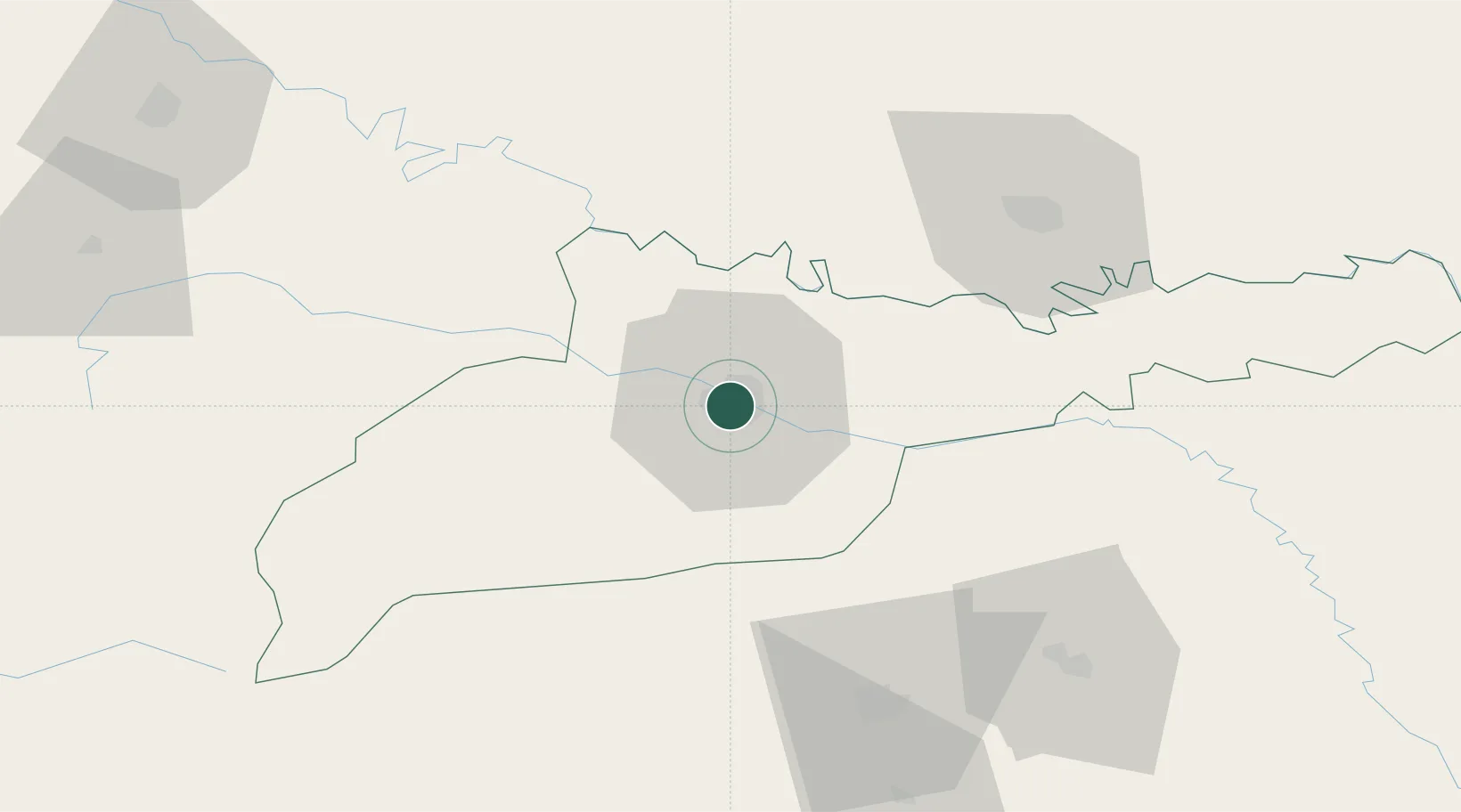
Nearby Logistics Neighbours

Cities
  1. 1Kamyana11 km
  2. 2Vadul32 km
  3. 3Galanesti44 km
  4. 4Vicovu de Sus45 km
  5. 5Slobozia Sucevei62 km
Nearest neighbours — logibook spatial index (haversine) over the source coordinates
Ports
  1. 1Galati360 km
  2. 2Reni366 km
  3. 3Braila373 km
  4. 4Izmayil398 km
  5. 5Belgorod-Dnestrovsky409 km
Nearest neighbours — logibook spatial index (haversine) over the source coordinates
Airports
  1. 1Chernivtsi International Airport6 km
  2. 2Suceava Ștefan cel Mare International Airport75 km
  3. 3Ivano-Frankivsk International Airport112 km
  4. 4Khmelnytskyi Airport139 km
  5. 5Bălți-Leadoveni International Airport147 km
Nearest neighbours — logibook spatial index (haversine) over the source coordinates
DatabookThe Record of Consolidated Knowledge
Ukraine beyond logistics?
Browse databook

All Sources

LocationsUN/LOCODE
UN/LOCODE — free
Portsthe NGA World Port Index
Public domain (US gov)
AirportsOurAirports
Public domain
Trade Zonesthe World Bank SEZ database
CC BY 4.0
Trade ZonesOpen Zone Map
CC BY
← Ukraine locations