Transport Functions
Rail
Road
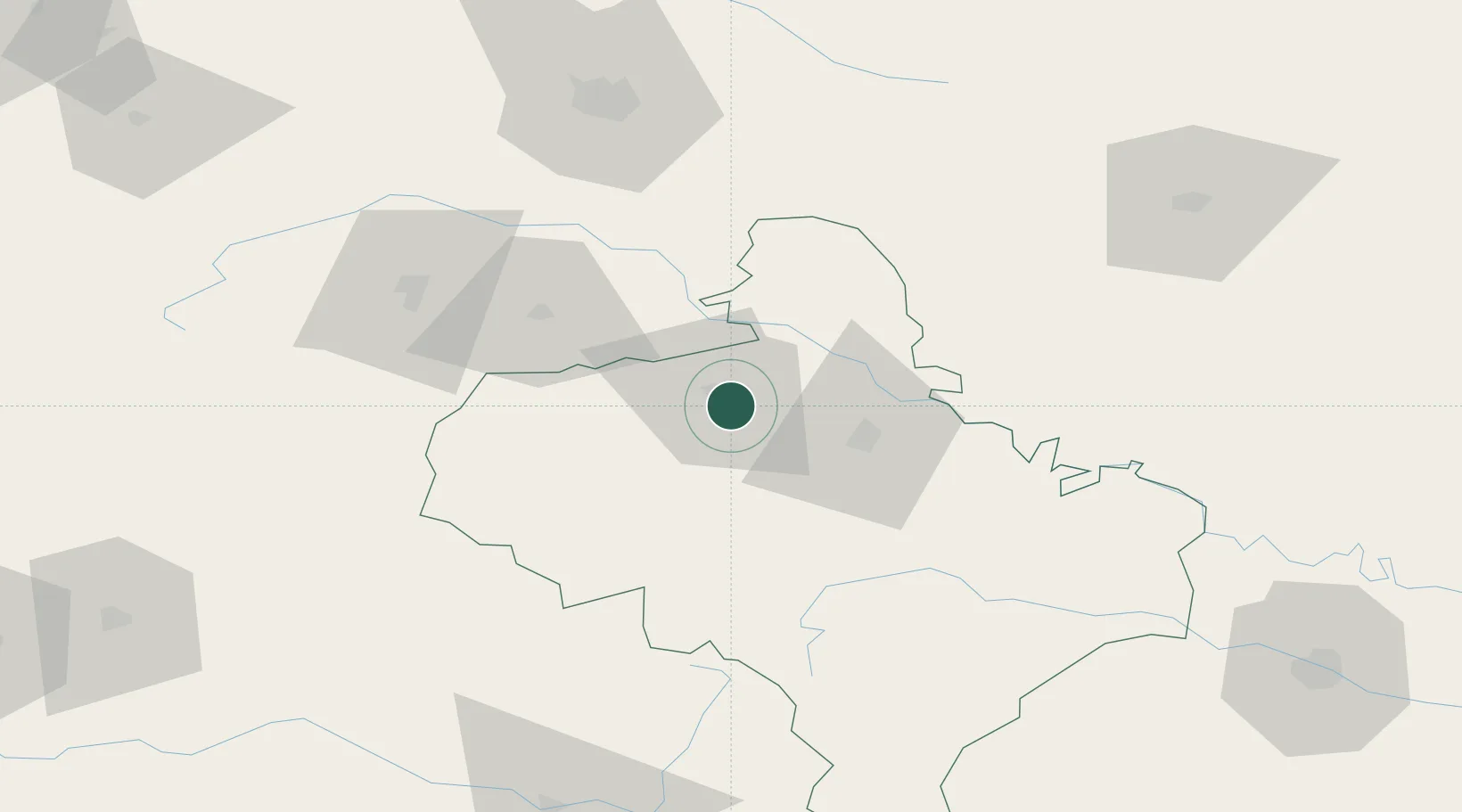
Hub Profile
Place type
Provincial seat
Region
Ivano-Frankivsk
Population
65,088
Time zone
Europe/Kyiv
Elevation
290 m
Location
Nearby Logistics Neighbours
Cities
- 1Ozerna96 km
- 2Terebovlya100 km
- 3Fagaras103 km
- 4Svalyava114 km
- 5Berezovitsa120 km
Airports
DatabookThe Record of Consolidated Knowledge
Ukraine beyond logistics?