Medium airport · Ukraine

Chernivtsi International AirportUKLN
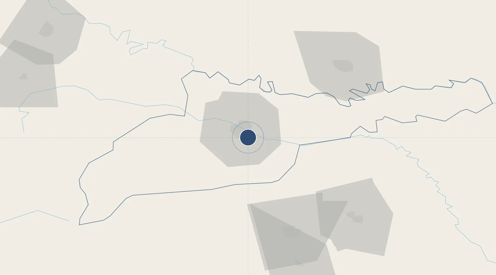
48.2593°, 25.9808°
7,270 ft
Longest runway
1
Runways
826 ft
Elevation

Runway & Layout

Chernivtsi International Airport runway & taxiway layout
Runway & taxiway layout — OpenStreetMap (ODbL) / OurAirports

Radio Frequencies

TWR
121.3 MHz
PMSV
134.9 MHz
METEO
OurAirports

Navaids

CN NDB Chernivtsi 805 kHz
CR NDB Chernivtsi 805 kHz
N NDB Chernivtsi 509 kHz
R NDB Chernivtsi 509 kHz
OurAirports

Runways · 1

RunwayDimensions SurfaceTrue headingLit
15/33 7,270 × 138ft Asphalt 153°
OurAirports

Airport Specifications

IATA code
CWC
OurAirports
ICAO code
UKLN
OurAirports
Airport class
Medium airport
OurAirports
Scheduled service
Yes
OurAirports
Runway surface
Asphalt
OurAirports
Served city
Chernivtsi
OurAirports

Location

Location of UKLN
Natural Earth 10m (public domain) · Chernivtsi · UKLN · 48.26, 25.98GoogleOSMYandex

Nearby Logistics Neighbours

Airports
  1. 1Suceava Ștefan cel Mare International Airport69 km
  2. 2Ivano-Frankivsk International Airport118 km
  3. 3Khmelnytskyi Airport141 km
  4. 4Bălți-Leadoveni International Airport142 km
  5. 5Iaşi International Airport172 km
Nearest neighbours — logibook spatial index (haversine) over the source coordinates
Cities
  1. 1Chernivtsi (Chernovtsy)6 km
  2. 2Kamyana11 km
  3. 3Vadul27 km
  4. 4Galanesti40 km
  5. 5Vicovu de Sus42 km
Nearest neighbours — logibook spatial index (haversine) over the source coordinates
Ports
  1. 1Galati354 km
  2. 2Reni360 km
  3. 3Braila368 km
  4. 4Izmayil392 km
  5. 5Belgorod-Dnestrovsky404 km
Nearest neighbours — logibook spatial index (haversine) over the source coordinates
DatabookThe Record of Consolidated Knowledge
Ukraine beyond logistics?
Browse databook

All Sources

AirportsOurAirports
Public domain
Portsthe NGA World Port Index
Public domain (US gov)
LocationsUN/LOCODE
UN/LOCODE — free
Trade Zonesthe World Bank SEZ database
CC BY 4.0
Trade ZonesOpen Zone Map
CC BY
InfrastructureOpenStreetMap
ODbL 1.0
← Ukraine airports