Medium airport · Ukraine

Ivano-Frankivsk International AirportUKLI
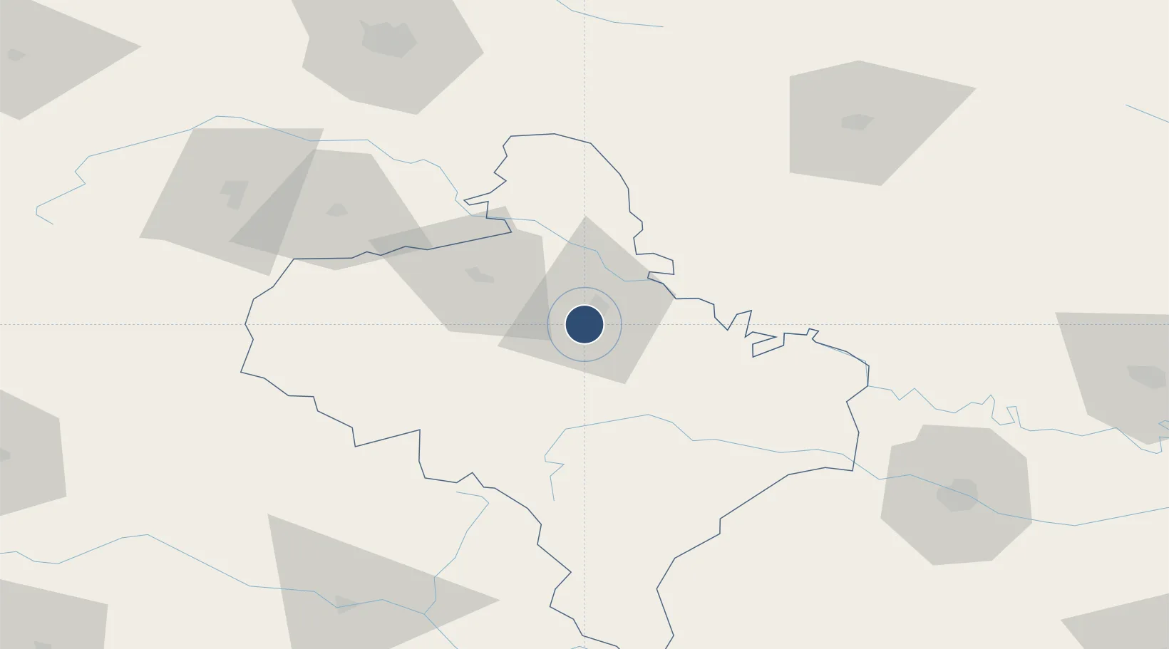
48.8842°, 24.6861°
8,226 ft
Longest runway
1
Runways
919 ft
Elevation

Runway & Layout

Ivano-Frankivsk International Airport runway & taxiway layout
Runway & taxiway layout — OpenStreetMap (ODbL) / OurAirports

Radio Frequencies

TWR
118.3 MHz
FRANKO TWR
TWR
124 MHz
FRANKO START
APP
127.3 MHz
FRANKO APP
APP
128.5 MHz
FRANKO START
PMSV
126.4 MHz
FRANKO METEO
OurAirports

Navaids

IVF VOR-DME Ivano Frankivsk 114.20 MHz
OurAirports

Runways · 1

RunwayDimensions SurfaceTrue headingLit
10/28 8,226 × 144ft Concrete 104°
OurAirports

Airport Specifications

IATA code
IFO
OurAirports
ICAO code
UKLI
OurAirports
Airport class
Medium airport
OurAirports
Scheduled service
Yes
OurAirports
Runway surface
Concrete
OurAirports
Served city
Ivano-Frankivsk
OurAirports

Location

Location of UKLI
Natural Earth 10m (public domain) · Ivano-Frankivs'k · UKLI · 48.88, 24.69GoogleOSMYandex

Nearby Logistics Neighbours

Airports
  1. 1Lviv International Airport116 km
  2. 2Chernivtsi International Airport118 km
  3. 3Maramureș International Airport164 km
  4. 4Khmelnytskyi Airport172 km
  5. 5Uzhhorod International Airport180 km
Nearest neighbours — logibook spatial index (haversine) over the source coordinates
Cities
  1. 1Kalush28 km
  2. 2Terebovlya85 km
  3. 3Ozerna93 km
  4. 4Fagaras110 km
  5. 5Kamyana111 km
Nearest neighbours — logibook spatial index (haversine) over the source coordinates
Ports
  1. 1Galati463 km
  2. 2Reni471 km
  3. 3Braila475 km
  4. 4Izmayil505 km
  5. 5Tulcea518 km
Nearest neighbours — logibook spatial index (haversine) over the source coordinates
Trade Zones
  1. 1Special Economic Zone Kurortopolis Truskavets96 km
  2. 2Special Economic Zone Yavoriv150 km
  3. 3Transcarpathian Special Economic Zone (Zakarpattia)178 km
  4. 4Customs Free Zone Zahony194 km
  5. 5Free Enterprise Zone- Otaci Business Park231 km
Nearest neighbours — logibook spatial index (haversine) over the source coordinates
DatabookThe Record of Consolidated Knowledge
Ukraine beyond logistics?
Browse databook

All Sources

AirportsOurAirports
Public domain
Portsthe NGA World Port Index
Public domain (US gov)
LocationsUN/LOCODE
UN/LOCODE — free
Trade Zonesthe World Bank SEZ database
CC BY 4.0
Trade ZonesOpen Zone Map
CC BY
InfrastructureOpenStreetMap
ODbL 1.0
← Ukraine airports