Transport Functions
Rail
Road
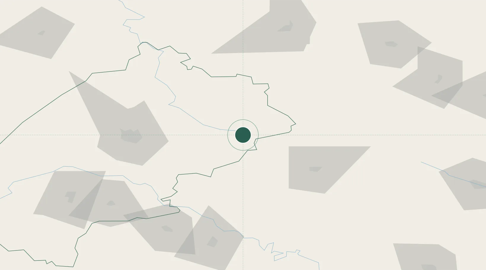
Hub Profile
Place type
Provincial seat
Region
Brașov County
Population
30,714
Time zone
Europe/Bucharest
Elevation
420 m
Location
Nearby Logistics Neighbours
Cities
- 1Ozerna35 km
- 2Berezovitsa43 km
- 3Radekhiv53 km
- 4Terebovlya81 km
- 5Kalush103 km
Ports
- 1Galati545 km
- 2Reni550 km
- 3Braila559 km
- 4Odesa567 km
- 5Belgorod-Dnestrovsky571 km
Airports
DatabookThe Record of Consolidated Knowledge
Romania beyond logistics?