Transport Functions
Rail
Road
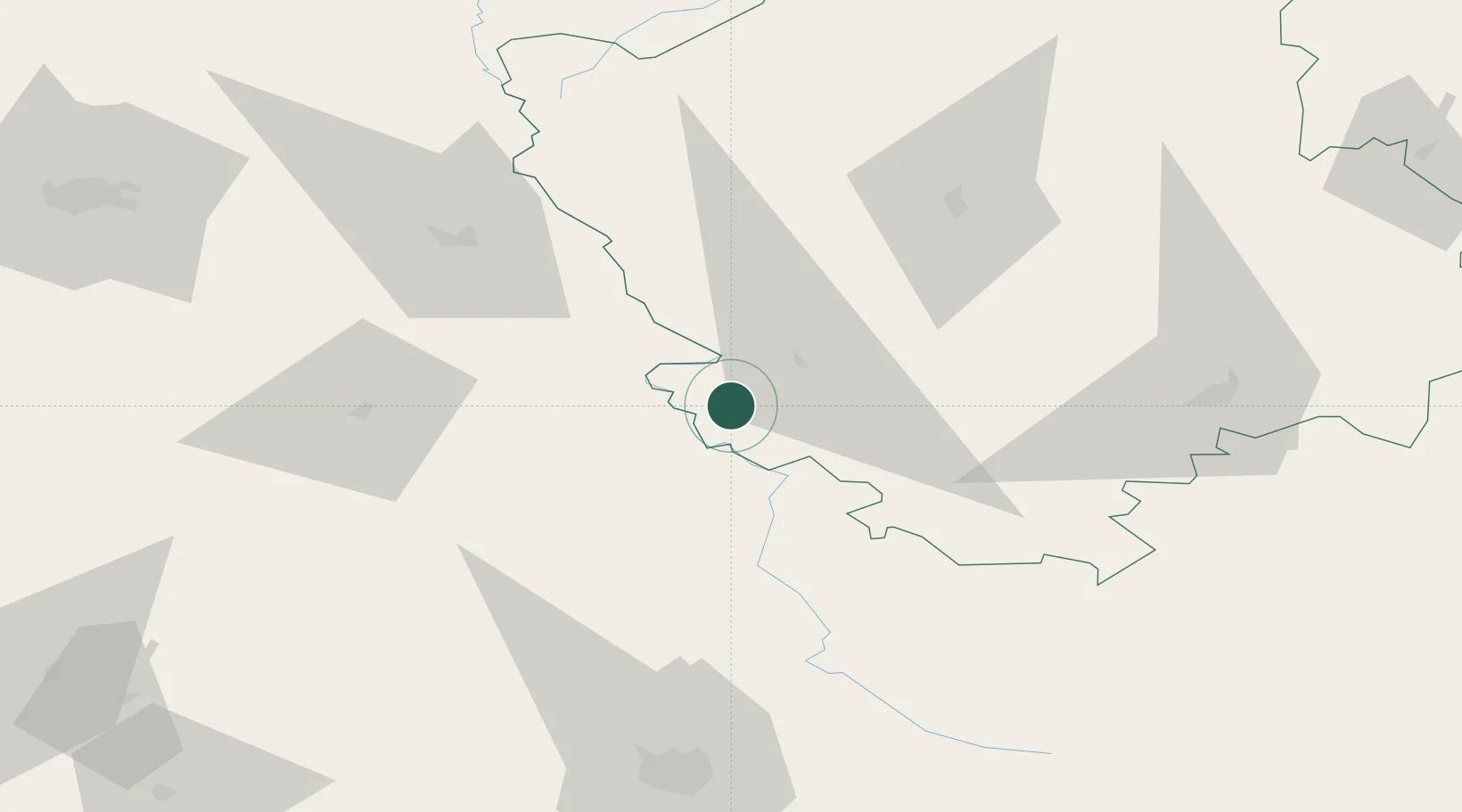
Hub Profile
Place type
Populated place
Region
Volyn
Population
49,772
Time zone
Europe/Kyiv
Elevation
237 m
Location
Nearby Logistics Neighbours
Cities
- 1Orane8 km
- 2Hrubieszów19 km
- 3Nieledew28 km
- 4Teresin45 km
- 5Dorohusk55 km
Ports
- 1Kaliningrad506 km
- 2Baltiysk520 km
- 3Gdansk548 km
- 4Nowy Port553 km
- 5Gdynia567 km
Airports
- 1Lviv International Airport104 km
- 2Lublin Airport116 km
- 3Rivne International Airport140 km
- 4Brest International Airport154 km
- 5Rzeszów-Jasionka Airport167 km
Trade Zones
DatabookThe Record of Consolidated Knowledge
Ukraine beyond logistics?