Transport Functions
Rail
Road
Hub Profile
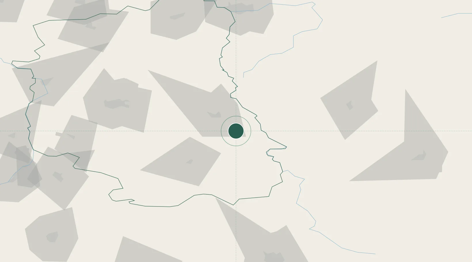
Place type
Populated place
Region
Lublin
Time zone
Europe/Warsaw
Elevation
202 m
Location
Nearby Logistics Neighbours
Cities
- 1Chelm20 km
- 2Dorohusk20 km
- 3Nieledew20 km
- 4Hrubieszów28 km
- 5Orane43 km
Ports
- 1Kaliningrad464 km
- 2Baltiysk477 km
- 3Gdansk503 km
- 4Nowy Port508 km
- 5Gdynia523 km
Airports
- 1Lublin Airport73 km
- 2Brest International Airport124 km
- 3Lviv International Airport134 km
- 4Deblin Military Air Base139 km
- 5Rzeszów-Jasionka Airport153 km
Trade Zones
DatabookThe Record of Consolidated Knowledge
Poland beyond logistics?