Transport Functions
Rail
Road
Border Crossing
Hub Profile
Place type
District seat
Region
Lublin
Population
516
Time zone
Europe/Warsaw
Elevation
174 m
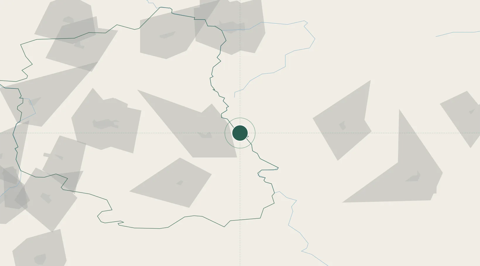
Location
Nearby Logistics Neighbours
Cities
- 1Teresin20 km
- 2Chelm21 km
- 3Nieledew37 km
- 4Hrubieszów42 km
- 5Orane50 km
Ports
- 1Kaliningrad451 km
- 2Baltiysk466 km
- 3Gdansk494 km
- 4Nowy Port500 km
- 5Gdynia514 km
Airports
- 1Lublin Airport76 km
- 2Brest International Airport105 km
- 3Deblin Military Air Base139 km
- 4Lviv International Airport151 km
- 5Osovtsy Air Base172 km
Trade Zones
DatabookThe Record of Consolidated Knowledge
Poland beyond logistics?