UN/LOCODE hub · Poland
PLNLD

Nieledew

50.8333°, 23.8000°
2
Transport functions

Transport Functions

Rail
Road
UN/LOCODE

Hub Profile

Place type
Populated place
GeoNames
Region
Lublin
GeoNames
Time zone
Europe/Warsaw
GeoNames
Elevation
207 m
GeoNames

Location

Location of PLNLD
Natural Earth 10m (public domain) · Lublin · PLNLD · 50.83, 23.80GoogleOSMYandex

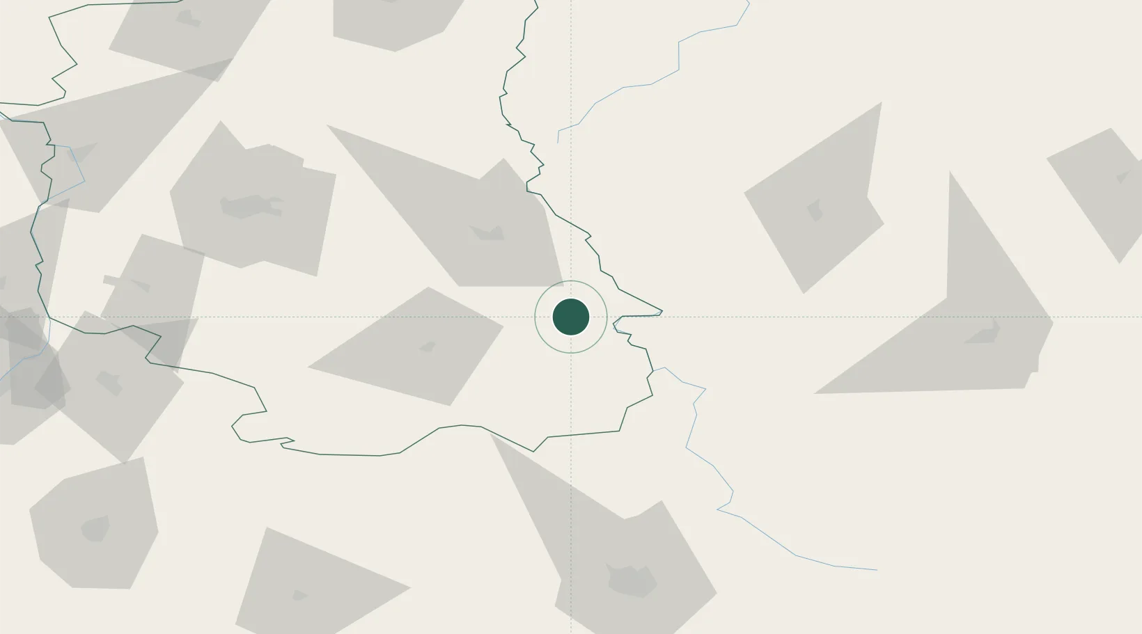
Nearby Logistics Neighbours

Cities
  1. 1Hrubieszów9 km
  2. 2Teresin20 km
  3. 3Novovolyns'k28 km
  4. 4Orane28 km
  5. 5Dorohusk37 km
Nearest neighbours — logibook spatial index (haversine) over the source coordinates
Ports
  1. 1Kaliningrad484 km
  2. 2Baltiysk497 km
  3. 3Gdansk522 km
  4. 4Nowy Port528 km
  5. 5Gdynia542 km
Nearest neighbours — logibook spatial index (haversine) over the source coordinates
Airports
  1. 1Lublin Airport88 km
  2. 2Lviv International Airport114 km
  3. 3Brest International Airport142 km
  4. 4Rzeszów-Jasionka Airport149 km
  5. 5Deblin Military Air Base155 km
Nearest neighbours — logibook spatial index (haversine) over the source coordinates
Trade Zones
  1. 1Special Economic Zone Interport Kovel53 km
  2. 2Special Economic Zone Yavoriv103 km
  3. 3Lublin Subzone (of Euro-Park Mielec)105 km
  4. 4Free Customs Area in Małaszewicze135 km
  5. 5Free Economic Zone Brest140 km
Nearest neighbours — logibook spatial index (haversine) over the source coordinates
DatabookThe Record of Consolidated Knowledge
Poland beyond logistics?
Browse databook

All Sources

LocationsUN/LOCODE
UN/LOCODE — free
Portsthe NGA World Port Index
Public domain (US gov)
AirportsOurAirports
Public domain
Trade Zonesthe World Bank SEZ database
CC BY 4.0
Trade ZonesOpen Zone Map
CC BY
← Poland locations