Transport Functions
Rail
Road
Hub Profile
Place type
District seat
Region
Lublin
Population
18,605
Time zone
Europe/Warsaw
Elevation
188 m
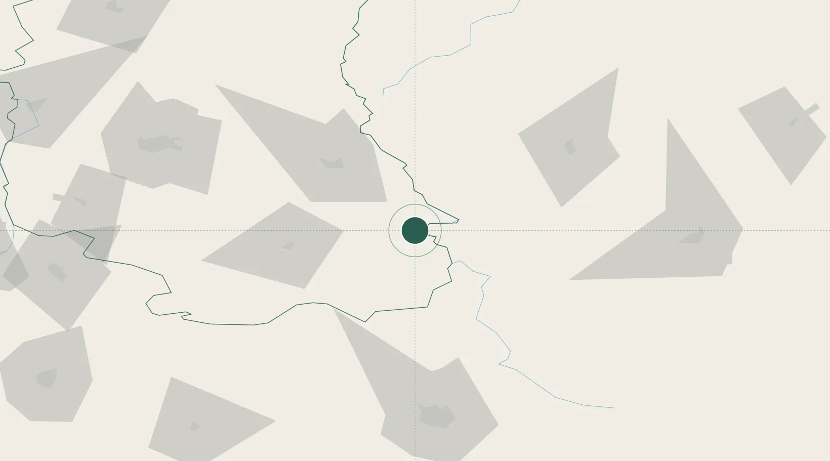
Location
Nearby Logistics Neighbours
Cities
- 1Nieledew9 km
- 2Novovolyns'k19 km
- 3Orane20 km
- 4Teresin28 km
- 5Dorohusk42 km
Ports
- 1Kaliningrad491 km
- 2Baltiysk505 km
- 3Gdansk531 km
- 4Nowy Port536 km
- 5Gdynia550 km
Airports
- 1Lublin Airport97 km
- 2Lviv International Airport110 km
- 3Brest International Airport146 km
- 4Rzeszów-Jasionka Airport154 km
- 5Deblin Military Air Base164 km
Trade Zones
DatabookThe Record of Consolidated Knowledge
Poland beyond logistics?