Transport Functions
Rail
Road
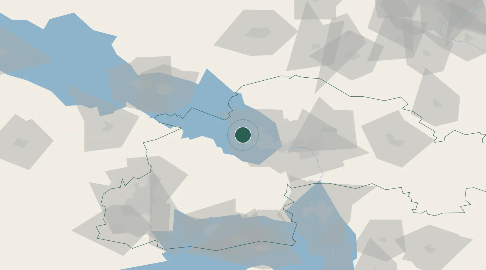
Hub Profile
Place type
Populated place
Region
Dnipropetrovsk
Population
5,554
Time zone
Europe/Kyiv
Elevation
115 m
Location
Nearby Logistics Neighbours
Cities
- 1Nizhnedneprovsk49 km
- 2Dnipro59 km
- 3Horishni Plavni73 km
- 4Aleksandria96 km
- 5Svitlovodsk100 km
Ports
- 1Mykolayiv258 km
- 2Kherson259 km
- 3Port Oktyabrsk270 km
- 4Berdyansk272 km
- 5Mariupol289 km
Airports
Trade Zones
DatabookThe Record of Consolidated Knowledge
Ukraine beyond logistics?