UN/LOCODE hub · Ukraine
UAKOM
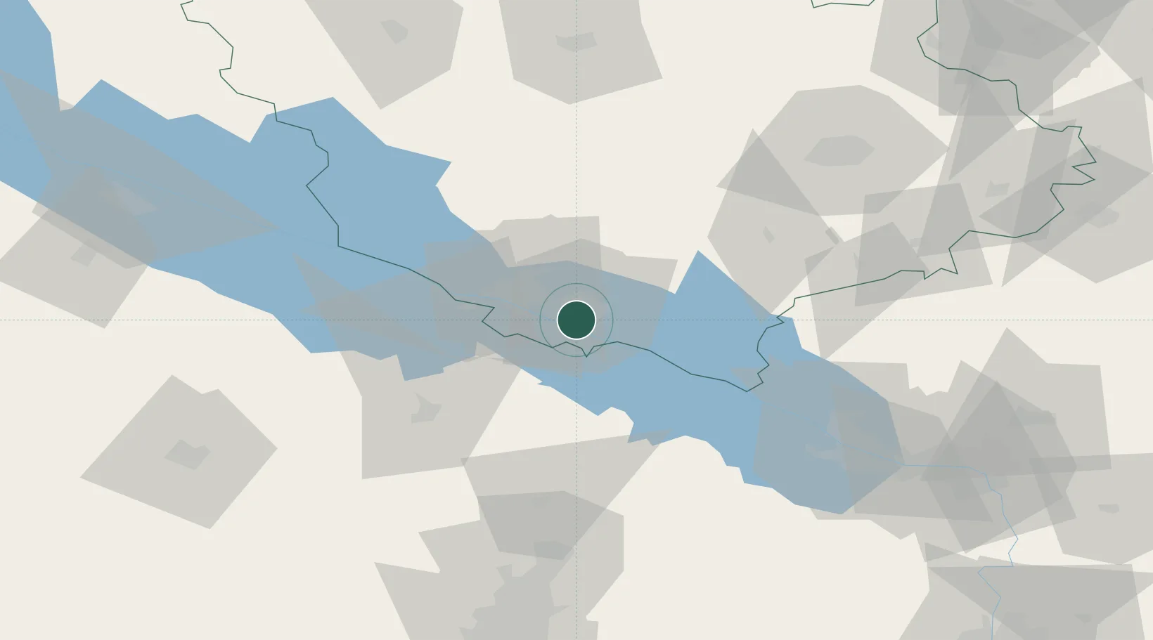
Horishni Plavni
49.0000°, 33.6333°
49,854
Population
2
Transport functions
Transport Functions
Rail
Road
Hub Profile
Place type
Populated place
Region
Poltava
Population
49,854
Time zone
Europe/Kyiv
Elevation
71 m
Location
Nearby Logistics Neighbours
Cities
- 1Svitlovodsk30 km
- 2Hlobyne50 km
- 3Aleksandria53 km
- 4Dniprovs'Ke73 km
- 5Nizhnedneprovsk119 km
Ports
- 1Mykolayiv259 km
- 2Port Oktyabrsk272 km
- 3Kherson276 km
- 4Skadovs'k327 km
- 5Yuzhnyy331 km
Airports
Trade Zones
DatabookThe Record of Consolidated Knowledge
Ukraine beyond logistics?