Transport Functions
Port
Road
Hub Profile
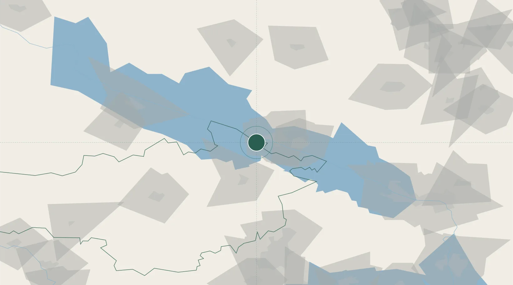
Place type
Provincial seat
Region
Kirovohrad
Population
43,130
Time zone
Europe/Kyiv
Elevation
126 m
Location
Nearby Logistics Neighbours
Cities
- 1Horishni Plavni30 km
- 2Hlobyne37 km
- 3Aleksandria44 km
- 4Dniprovs'Ke100 km
- 5Lubny109 km
Ports
- 1Mykolayiv251 km
- 2Port Oktyabrsk265 km
- 3Kherson275 km
- 4Yuzhnyy319 km
- 5Skadovs'k329 km
Airports
Trade Zones
DatabookThe Record of Consolidated Knowledge
Ukraine beyond logistics?