UN/LOCODE hub · Ukraine
UAZUZ

Aleksandria

48.6667°, 33.1167°
1
Transport functions

Transport Functions

Multimodal
UN/LOCODE

Hub Profile

Region
51
GeoNames

Location

Location of UAZUZ
Natural Earth 10m (public domain) · 51 · UAZUZ · 48.67, 33.12GoogleOSMYandex

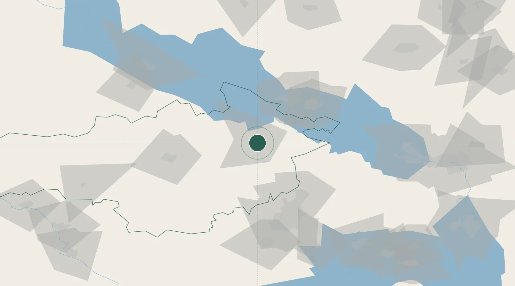
Nearby Logistics Neighbours

Cities
  1. 1Svitlovodsk44 km
  2. 2Horishni Plavni53 km
  3. 3Hlobyne81 km
  4. 4Dniprovs'Ke96 km
  5. 5Zolotonosha136 km
Nearest neighbours — logibook spatial index (haversine) over the source coordinates
Ports
  1. 1Mykolayiv209 km
  2. 2Port Oktyabrsk222 km
  3. 3Kherson231 km
  4. 4Yuzhnyy279 km
  5. 5Skadovs'k286 km
Nearest neighbours — logibook spatial index (haversine) over the source coordinates
Airports
  1. 1Kryvyi Rih International Airport70 km
  2. 2Dolgintsevo Air Base92 km
  3. 3Cherkasy International Airport117 km
  4. 4Dnipro International Airport150 km
  5. 5Zaporizhzhia International Airport185 km
Nearest neighbours — logibook spatial index (haversine) over the source coordinates
Trade Zones
  1. 1North Caucasus Resort Cluster142 km
  2. 2Special Economic Zone Nikolaev (Mykolaiv)206 km
  3. 3Porto Franco Special Economic Zone301 km
  4. 4Special Economic Zone Donetsk341 km
  5. 5Slavutych Special Economic Zone360 km
Nearest neighbours — logibook spatial index (haversine) over the source coordinates
DatabookThe Record of Consolidated Knowledge
Ukraine beyond logistics?
Browse databook

All Sources

LocationsUN/LOCODE
UN/LOCODE — free
Portsthe NGA World Port Index
Public domain (US gov)
AirportsOurAirports
Public domain
Trade Zonesthe World Bank SEZ database
CC BY 4.0
Trade ZonesOpen Zone Map
CC BY
← Ukraine locations