Medium airport · Ukraine

Cherkasy International AirportUKKE
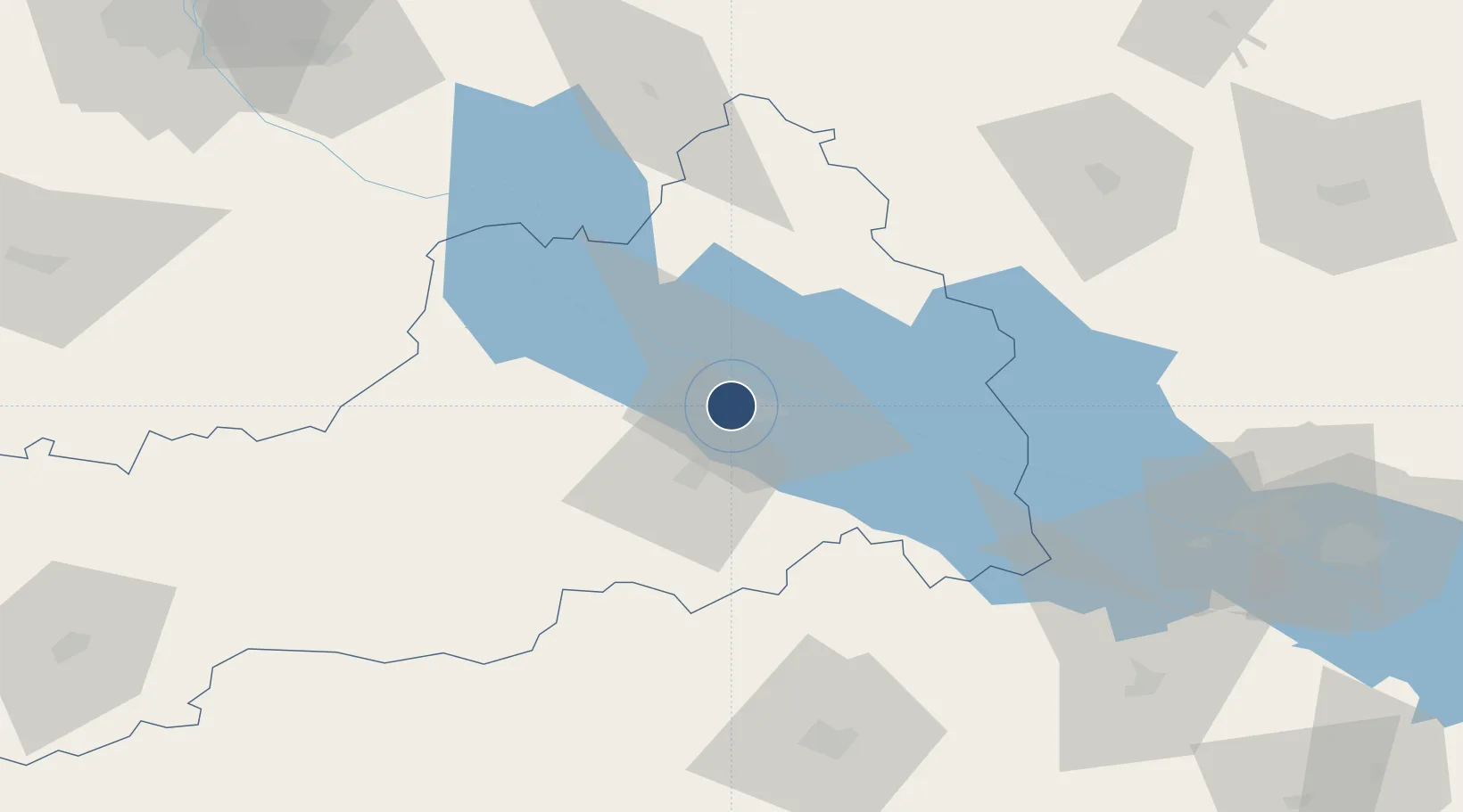
49.4156°, 31.9953°
8,180 ft
Longest runway
1
Runways
375 ft
Elevation

Runway & Layout

Cherkasy International Airport runway & taxiway layout
Runway & taxiway layout — OpenStreetMap (ODbL) / OurAirports

Radio Frequencies

TWR
128.7 MHz
OurAirports

Navaids

C NDB Cherkasy 705 kHz
CC NDB Cherkasy 345 kHz
CK NDB Cherkasy 345 kHz
K NDB Cherkasy 705 kHz
OurAirports

Runways · 1

RunwayDimensions SurfaceTrue headingLit
15/33 8,180 × 138ft Asphalt 150°
OurAirports

Airport Specifications

IATA code
CKC
OurAirports
ICAO code
UKKE
OurAirports
Airport class
Medium airport
OurAirports
Scheduled service
No
OurAirports
Runway surface
Asphalt
OurAirports
Served city
Cherkasy
OurAirports

Location

Location of UKKE
Natural Earth 10m (public domain) · Cherkasy · UKKE · 49.42, 32.00GoogleOSMYandex

Nearby Logistics Neighbours

Airports
  1. 1Boryspil International Airport130 km
  2. 2Bila Tserkva Air Base148 km
  3. 3Ihor Sikorsky Kyiv International Airport (Zhuliany)156 km
  4. 4Kryvyi Rih International Airport177 km
  5. 5Hostomel Airport185 km
Nearest neighbours — logibook spatial index (haversine) over the source coordinates
Cities
  1. 1Zolotonosha28 km
  2. 2Kaniv53 km
  3. 3Korsun Shevchenkivskyy54 km
  4. 4Hlobyne93 km
  5. 5Lubny98 km
Nearest neighbours — logibook spatial index (haversine) over the source coordinates
Ports
  1. 1Mykolayiv274 km
  2. 2Port Oktyabrsk287 km
  3. 3Kherson315 km
  4. 4Yuzhnyy321 km
  5. 5Odesa339 km
Nearest neighbours — logibook spatial index (haversine) over the source coordinates
Trade Zones
  1. 1North Caucasus Resort Cluster246 km
  2. 2Slavutych Special Economic Zone250 km
  3. 3Special Economic Zone Nikolaev (Mykolaiv)271 km
  4. 4Free International Airport Mărculești327 km
  5. 5Free Enterprise Zone- Otaci Business Park327 km
Nearest neighbours — logibook spatial index (haversine) over the source coordinates
DatabookThe Record of Consolidated Knowledge
Ukraine beyond logistics?
Browse databook

All Sources

AirportsOurAirports
Public domain
Portsthe NGA World Port Index
Public domain (US gov)
LocationsUN/LOCODE
UN/LOCODE — free
Trade Zonesthe World Bank SEZ database
CC BY 4.0
Trade ZonesOpen Zone Map
CC BY
InfrastructureOpenStreetMap
ODbL 1.0
← Ukraine airports