UN/LOCODE hub · Trinidad & Tobago
TTPOS
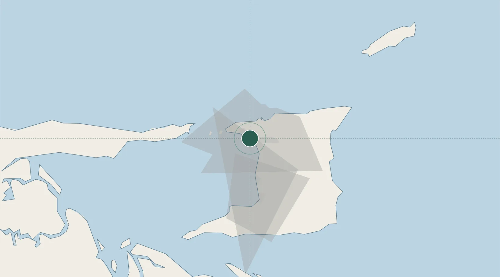
Port-of-Spain
10.6507°, -61.5181°
49,031
Population
3
Transport functions
1
Container terminals
Transport Functions
Port
Airport
Postal
Hub Profile
Place type
National capital
Region
Port of Spain
Population
49,031
Time zone
America/Port_of_Spain
Elevation
21 m
Logistics facilities
2
Container terminals
1
Location
Nearby Logistics Neighbours
Cities
- 1Laventille4 km
- 2Morvant/Port-of-Spain6 km
- 3Diego Martin9 km
- 4Carenage10 km
- 5Trincity17 km
Ports
- 1Anse Tembladora8 km
- 2Chaguaramas15 km
- 3Point Lisas Port28 km
- 4Pointe A Pierre38 km
- 5Brighton46 km
Airports
Trade Zones
DatabookThe Record of Consolidated Knowledge
Trinidad & Tobago beyond logistics?