UN/LOCODE hub · Türkiye
TRHAY

Haydarpasa

41.0014°, 29.0854°
2
Transport functions

Transport Functions

Port
Road
Haydarpasa is also a profiled seaport →
UN/LOCODE

Hub Profile

Place type
Urban district
GeoNames
Region
Istanbul
GeoNames
Time zone
Europe/Istanbul
GeoNames
Elevation
10 m
GeoNames
Logistics facilities
6
UN/LOCODE

Location

Location of TRHAY
Natural Earth 10m (public domain) · Istanbul · TRHAY · 41.00, 29.09GoogleOSMYandex

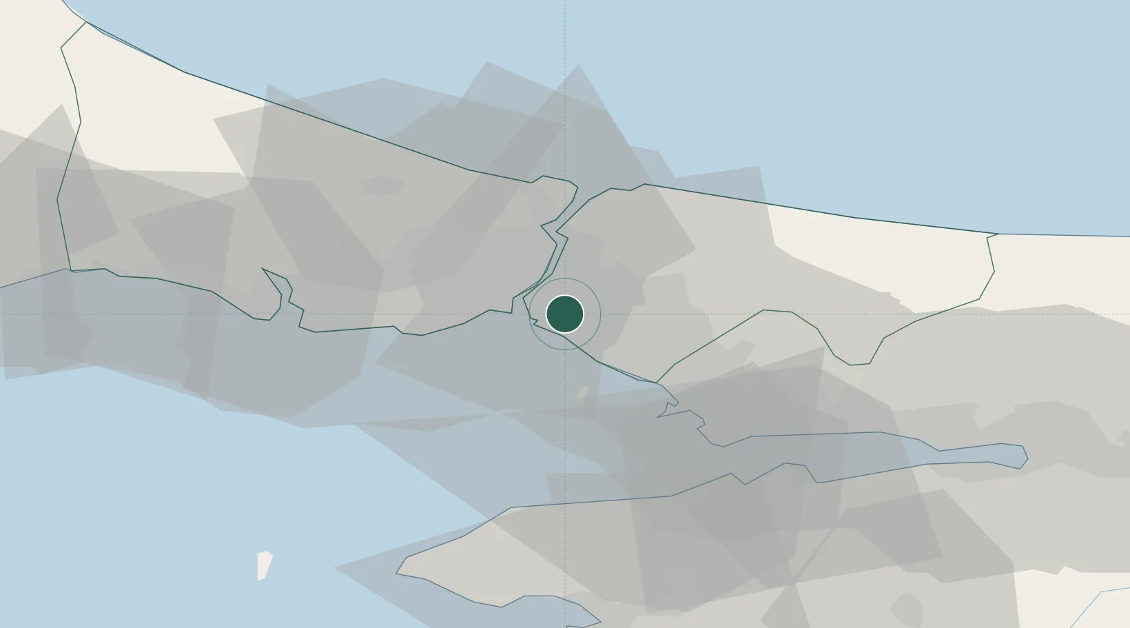
Nearby Logistics Neighbours

Cities
  1. 1Üsküdar3 km
  2. 2Kiziltoprak5 km
  3. 3Beylerbeyi6 km
  4. 4Besiktas8 km
  5. 5Ortakoy8 km
Nearest neighbours — logibook spatial index (haversine) over the source coordinates
Ports
  1. 1Istanbul10 km
  2. 2Istinye13 km
  3. 3Ambarli33 km
  4. 4Gebze47 km
  5. 5Yarimca56 km
Nearest neighbours — logibook spatial index (haversine) over the source coordinates
Airports
  1. 1İstanbul Samandıra Army Air Base11 km
  2. 2Istanbul Sabiha Gökçen International Airport22 km
  3. 3İstanbul Atatürk Airport22 km
  4. 4İstanbul Airport42 km
  5. 5Cengiz Topel Airport89 km
Nearest neighbours — logibook spatial index (haversine) over the source coordinates
Trade Zones
  1. 1Istanbul Stock Exchange Free Zone13 km
  2. 2Istanbul Atatürk Airport Free Zone23 km
  3. 3Istanbul Leather Industry Free Zone28 km
  4. 4Gebze Organized Industrial Zone33 km
  5. 5TUBITAK Technology Free Zone and Technopark39 km
Nearest neighbours — logibook spatial index (haversine) over the source coordinates
DatabookThe Record of Consolidated Knowledge
Türkiye beyond logistics?
Browse databook

All Sources

LocationsUN/LOCODE
UN/LOCODE — free
Portsthe NGA World Port Index
Public domain (US gov)
AirportsOurAirports
Public domain
Trade Zonesthe World Bank SEZ database
CC BY 4.0
Trade ZonesOpen Zone Map
CC BY
← Türkiye locations