Channel & Berth Profile
Pilotage, Tugs & Services
Pilotage compulsoryYES
Pilotage availableYES
Tug assistanceYES
Salvage tugsYES
Potable waterYES
Diesel bunkersYES
MedicalYES
Garbage disposalYES
Facilities & Capabilities
Container—
Ro-Ro—
Liquid bulk—
Dry bulk—
Oil terminal—
Break bulk—
Dry dock—
RepairsNO
BunkeringYES
Rail link—
Dangerous cargo—
ISPS security—
Harbour Specifications
Harbour size
Very Small
Harbour type
Coastal (Breakwater)
Shelter
Fair
Water body
Black Sea; North Atlantic Ocean
Pilotage
Yes
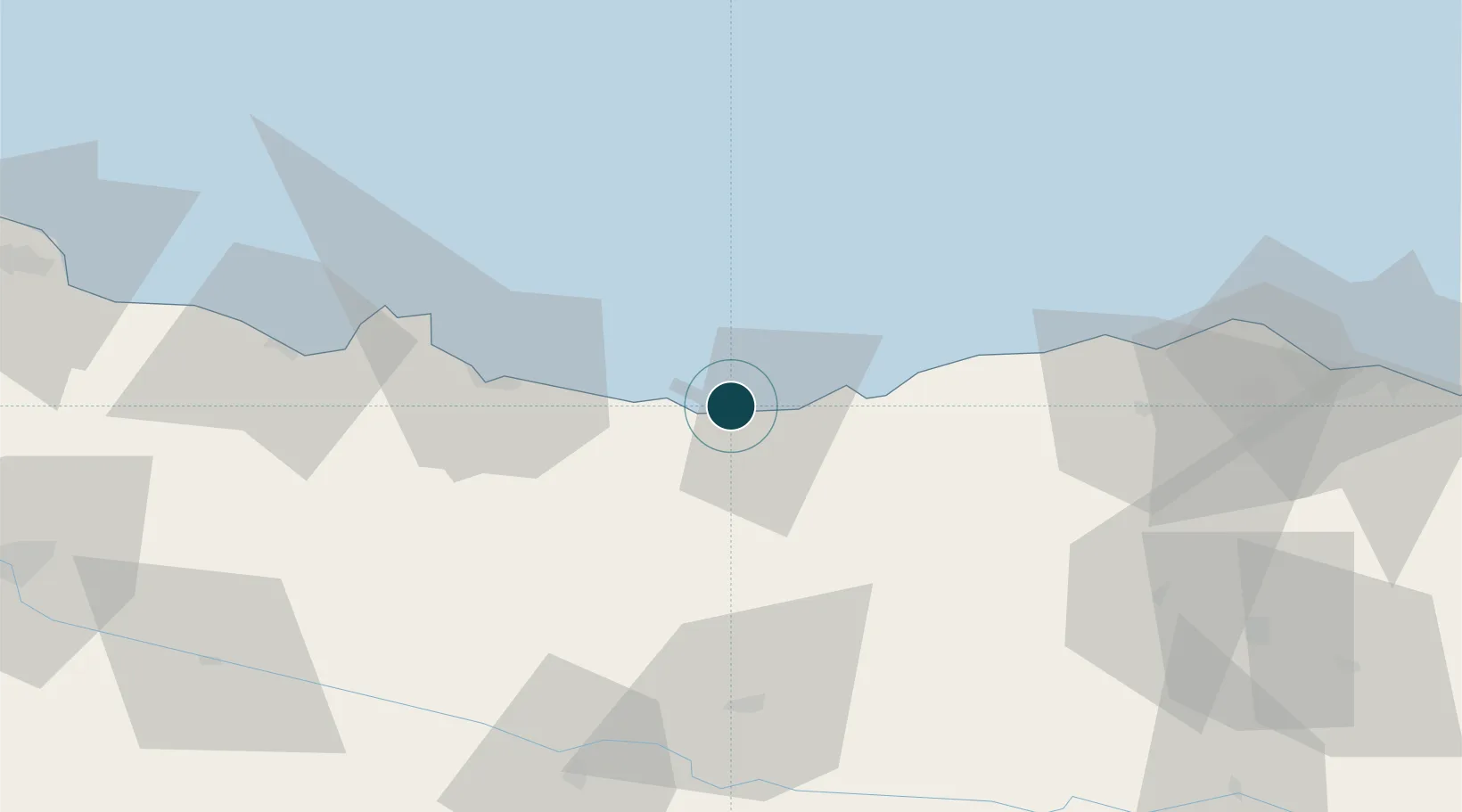
Location
Nearby Logistics Neighbours
Cities
- 1Tirebolu34 km
- 2Ordu45 km
- 3Görele52 km
- 4Vakfikebir74 km
- 5Fatsa78 km
Airports
- 1Ordu–Giresun Airport27 km
- 2Trabzon International Airport117 km
- 3Samsun-Çarşamba Airport158 km
- 4Erzincan Airport166 km
- 5Sivas Nuri Demirağ Airport178 km
Trade Zones
DatabookThe Record of Consolidated Knowledge
Türkiye beyond logistics?