UN/LOCODE hub · Greece
GRAGN

Agathonisi

37.4500°, 26.9667°
1
Transport functions

Transport Functions

Port
UN/LOCODE

Hub Profile

Region
81
GeoNames

Location

Location of GRAGN
Natural Earth 10m (public domain) · 81 · GRAGN · 37.45, 26.97GoogleOSMYandex

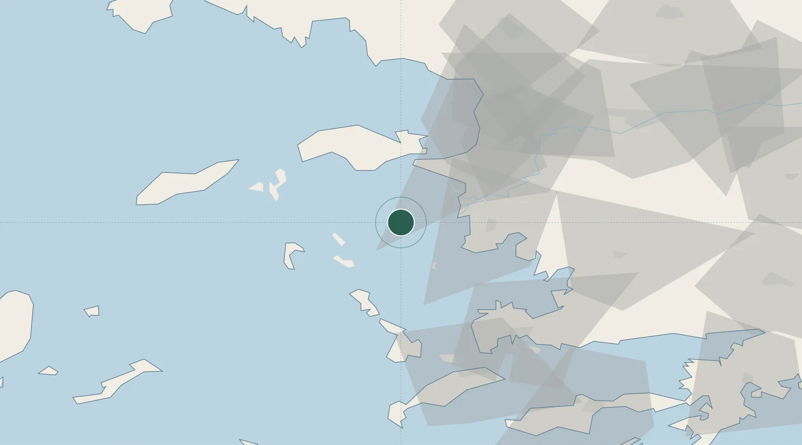
Nearby Logistics Neighbours

Cities
  1. 1Farmakonissi Dodekanissos21 km
  2. 2Arkioi Dodekanissou22 km
  3. 3Lipsoí26 km
  4. 4Pythagóreion28 km
  5. 5Leros33 km
Nearest neighbours — logibook spatial index (haversine) over the source coordinates
Ports
  1. 1Pithagorion26 km
  2. 2Samos33 km
  3. 3Lakki37 km
  4. 4Neon Karlovas46 km
  5. 5Kusadasi53 km
Nearest neighbours — logibook spatial index (haversine) over the source coordinates
Airports
  1. 1Samos Airport27 km
  2. 2Leros Airport33 km
  3. 3Kalymnos Airport54 km
  4. 4Ikaria Airport60 km
  5. 5Milas Bodrum International Airport66 km
Nearest neighbours — logibook spatial index (haversine) over the source coordinates
Trade Zones
  1. 1Tire Organized Industrial Zone99 km
  2. 2Aegean Free Zone100 km
  3. 3Izmir Ataturk Organized Industrial Zone116 km
  4. 4Izmir Free Zone130 km
  5. 5Manisa Organized Industrial Zone134 km
Nearest neighbours — logibook spatial index (haversine) over the source coordinates
DatabookThe Record of Consolidated Knowledge
Greece beyond logistics?
Browse databook

All Sources

LocationsUN/LOCODE
UN/LOCODE — free
Portsthe NGA World Port Index
Public domain (US gov)
AirportsOurAirports
Public domain
Trade Zonesthe World Bank SEZ database
CC BY 4.0
Trade ZonesOpen Zone Map
CC BY
← Greece locations