Organized Industrial Zone · Türkiye
Osmaniye Organized Industrial Zone
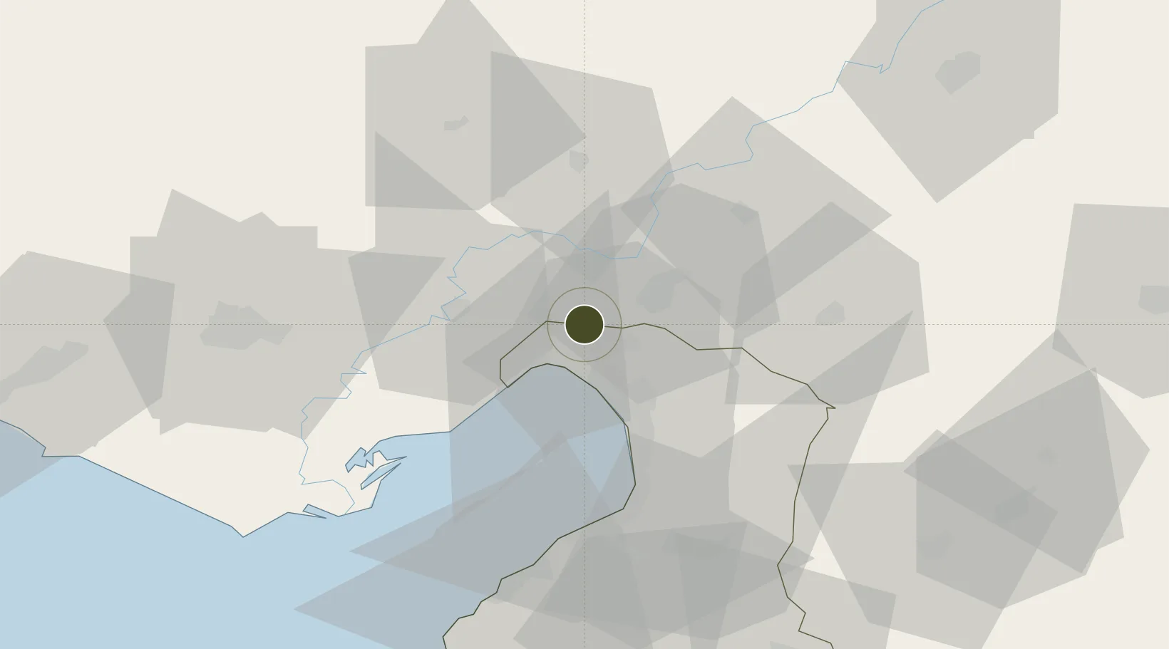
37.0128°, 36.1029°
572 ha
Zone area
16.1 km
Nearest port
60.1 km
Nearest airport
Gateway access
Zone profile
Zone type
Organized Industrial Zone
Region
Hatay
Established
2000
Management
PPP
Operator
Osmaniye Organized Industrial Zone Administration
Regulatory authority
Ministry of Industry and Trade
Legal framework
Organized Industrial Zones Law
Location
Fiscal & incentives
Corporate tax
20%
Tax relief
30% to 90%, depending on size, location, and sector of investment
Relief duration
Until amount of tax reduction equals 15% to 50% of investment, depending on size, location, and sector of investment
VAT
Excise tax support on goods used in production of electricty to the plants
Import duty (inputs)
0% exempt
Import duty (capex)
100% exempt
Profit repatriation
No exemption
Capital gains
No exemption
Withholding tax
100% exempt from income tax on newly recruited employees
Min. investment
$139K to $278K depending on location of investment
Min. export
0%
Employment incentive
Employer's contribution to insurance premiums are covered by Treasury
Developer incentive
Yes
Nearby Logistics Neighbours
Ports
- 1Toros Gubre16 km
- 2Botas21 km
- 3Yakacik34 km
- 4Iskenderun46 km
- 5Mersin133 km
Airports
- 1İncirlik Air Base60 km
- 2Adana Şakirpaşa Airport73 km
- 3Hatay Airport74 km
- 4Çukurova International Airport93 km
- 5Kahramanmaraş Airport95 km
Cities
- 1Toros Gubre Terminal, Gubre15 km
- 2Dörtyol18 km
- 3Botas23 km
- 4Isdemir34 km
- 5Kadirli39 km
Trade Zones
DatabookThe Record of Consolidated Knowledge
Türkiye beyond logistics?