Transport Functions
Multimodal
Hub Profile
Place type
Urban district
Region
Istanbul
Time zone
Europe/Istanbul
Elevation
12 m
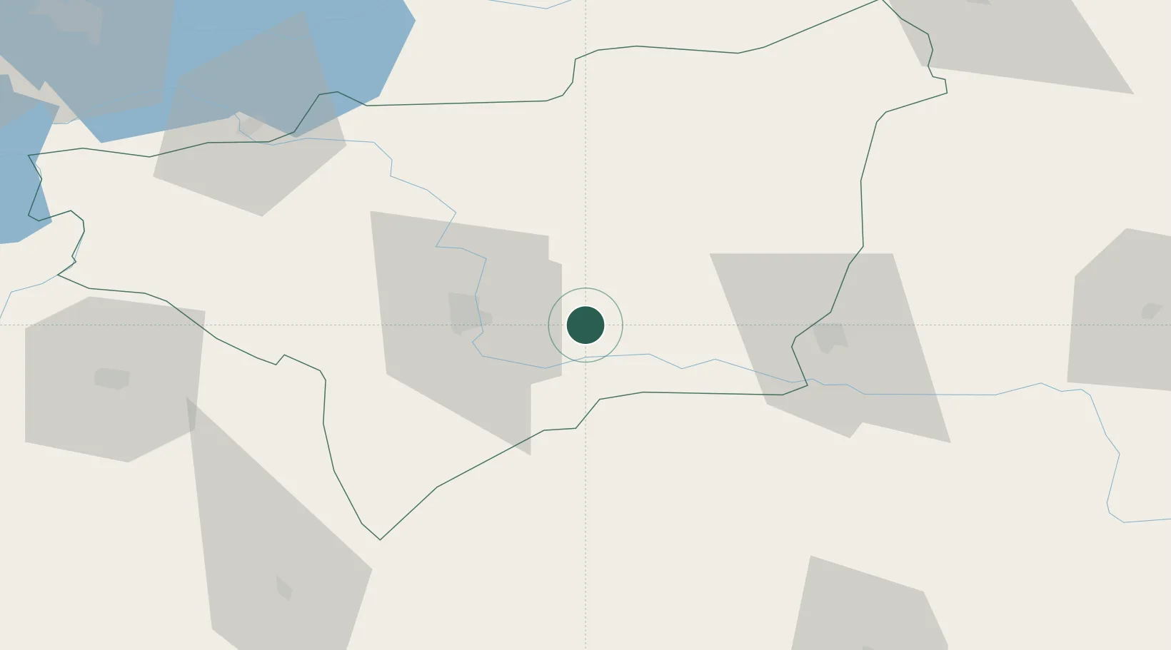
Location
Nearby Logistics Neighbours
Airports
- 1Diyarbakır Airport28 km
- 2Batman Airport53 km
- 3Mardin Airport78 km
- 4Bingöl Airport105 km
- 5Qamishli International Airport116 km
Trade Zones
- 1Mardin Free Zone72 km
- 2Al Yarubiyah Free Zone183 km
- 3Gaziantep Free Zone294 km
- 4Aleppo Free Zone345 km
- 5Trabzon Free Zone350 km
DatabookThe Record of Consolidated Knowledge
Türkiye beyond logistics?