Small airport · Türkiye
Bingöl AirportLTCU
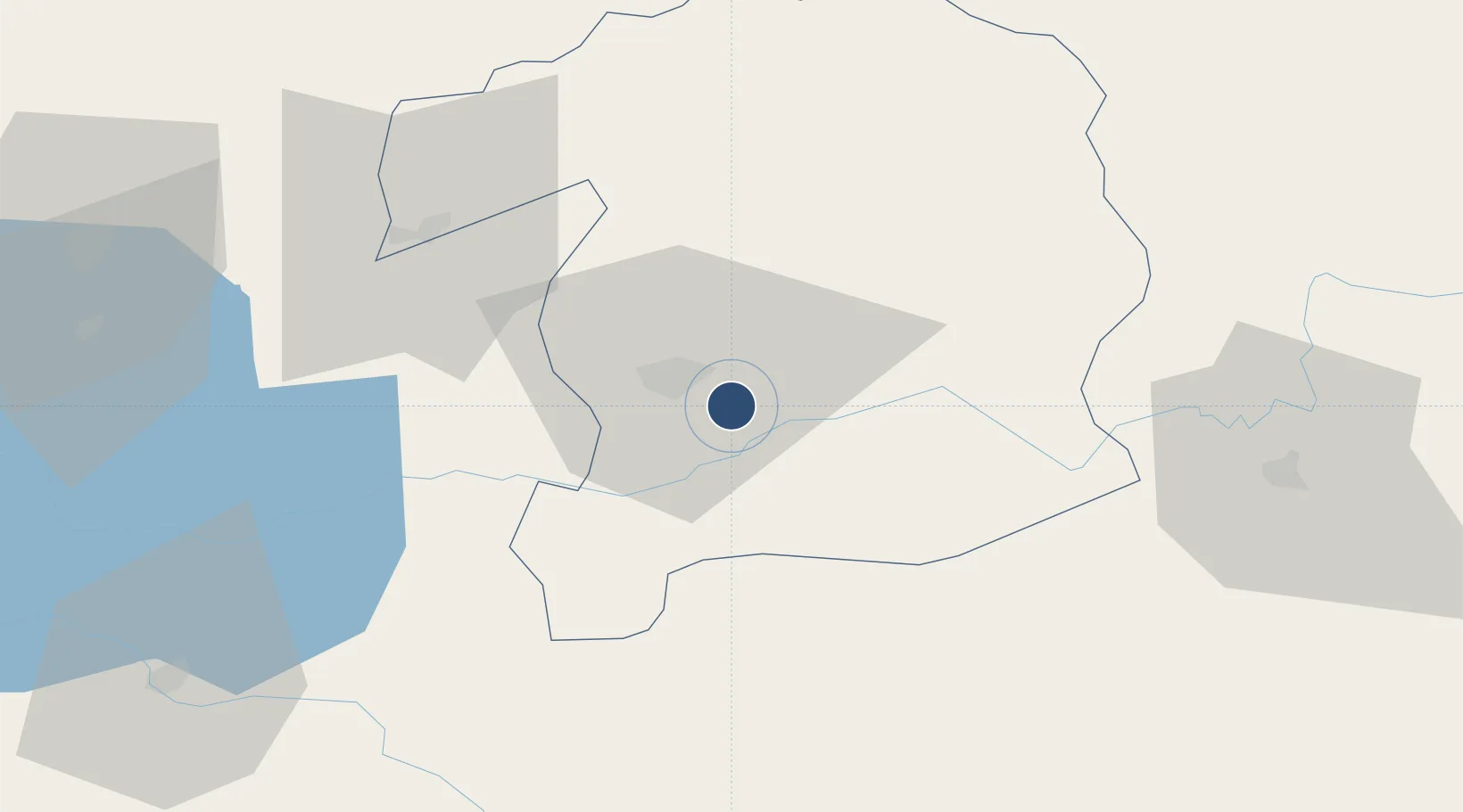
38.8601°, 40.5945°
7,546 ft
Longest runway
1
Runways
3,506 ft
Elevation
Runway & Layout

Runways · 1
| Runway | Dimensions | Surface | True heading | Lit |
|---|---|---|---|---|
| 11/29 | 7,546 × 148ft | Concrete | — | — |
Airport Specifications
IATA code
BGG
ICAO code
LTCU
Airport class
Small airport
Scheduled service
Yes
Runway surface
Concrete
Served city
Bingöl
Location
Nearby Logistics Neighbours
Airports
- 1Muş Airport93 km
- 2Diyarbakır Airport113 km
- 3Batman Airport113 km
- 4Elazığ Airport117 km
- 5Erzurum International Airport132 km
Cities
- 1Atakoy105 km
- 2Polan108 km
- 3Demirkapi116 km
- 4Cemberlitas118 km
- 5Kopru120 km
Trade Zones
- 1Mardin Free Zone176 km
- 2Trabzon Free Zone250 km
- 3Al Yarubiyah Free Zone261 km
- 4Sivas Merkez I.Organized Industrial Zone318 km
- 5Maku Mako Trade-Industrial Free Zone332 km
DatabookThe Record of Consolidated Knowledge
Türkiye beyond logistics?