Medium airport · Türkiye
Diyarbakır AirportLTCC
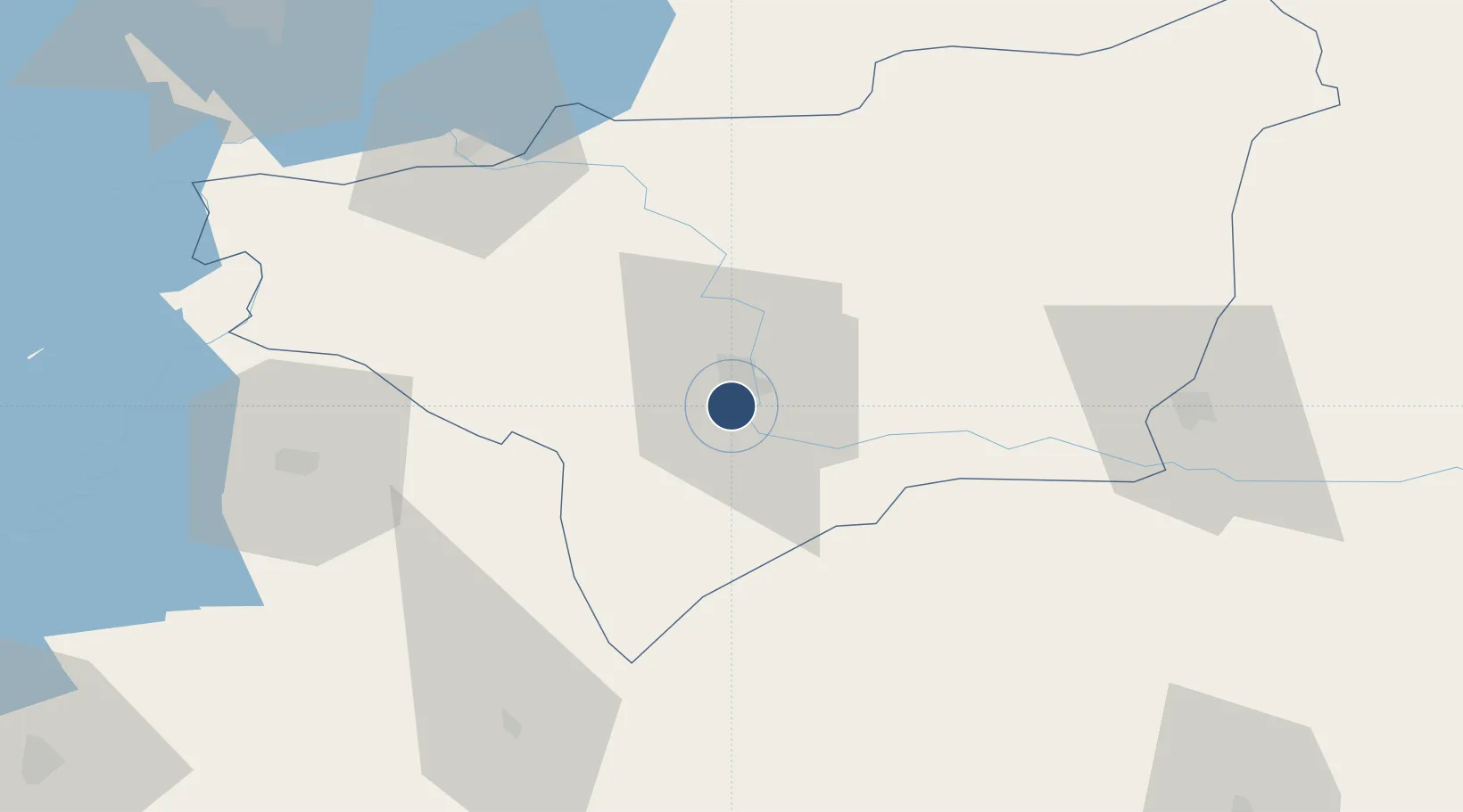
37.8939°, 40.2010°
11,644 ft
Longest runway
1
Runways
2,251 ft
Elevation
Runway & Layout

Radio Frequencies
ATIS
122.425 MHz
TWR
118.1 MHz
GND
122.1 MHz
APP
122.1 MHz
ACP
123.2 MHz
MAC ALCE
Navaids
DIY TACAN Diyarbakir 110.00 MHz
DYB VOR-DME Diyarbakir 109.40 MHz
DYB NDB Diyarbakir 330 kHz
Runways · 1
| Runway | Dimensions | Surface | True heading | Lit |
|---|---|---|---|---|
| 16/34 | 11,644 × 148ft | Concrete | 163° | ✓ |
Airport Specifications
IATA code
DIY
ICAO code
LTCC
Airport class
Medium airport
Scheduled service
Yes
Runway surface
Concrete
Served city
Diyarbakır
Location
Nearby Logistics Neighbours
Airports
- 1Batman Airport80 km
- 2Mardin Airport84 km
- 3Elazığ Airport112 km
- 4Bingöl Airport113 km
- 5Şanlıurfa GAP Airport125 km
Ports
- 1Trabzon349 km
- 2Rize354 km
- 3Giresun372 km
- 4Yakacik379 km
- 5Iskenderun385 km
Trade Zones
- 1Mardin Free Zone80 km
- 2Al Yarubiyah Free Zone203 km
- 3Gaziantep Free Zone266 km
- 4Aleppo Free Zone320 km
- 5Sivas Merkez I.Organized Industrial Zone342 km
DatabookThe Record of Consolidated Knowledge
Türkiye beyond logistics?