Free Trade Zone · Türkiye

Trabzon Free Zone Active
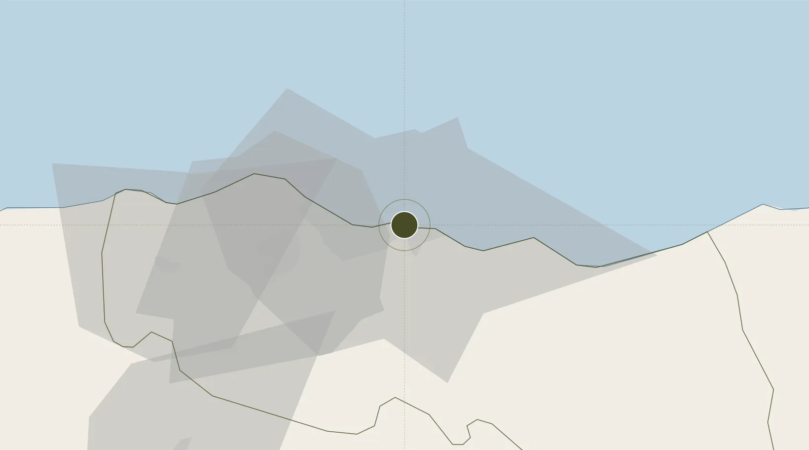
41.0075°, 39.7359°
31 ha
Zone area
2.8 km
Nearest port
4.7 km
Nearest airport

Gateway access

Nearest neighbours — logibook spatial index (haversine) over the source coordinates

Zone profile

Zone type
Free Trade Zone
Open Zone Map
Region
Trabzon
Open Zone Map
Status
Active
Open Zone Map
Management
Public-Private Partnership
Open Zone Map
Operator
Transbas Trabzon Free Zone Founder and Operator Inc.
Open Zone Map
Legal framework
Free Zones Law: Law Nr. 3218 Approved: June 6, 1985
Open Zone Map

Location

Location of ozm-4557
Natural Earth 10m (public domain) · Trabzon · ozm-4557 · 41.01, 39.74GoogleOSMYandex

Nearby Logistics Neighbours

Ports
  1. 1Trabzon3 km
  2. 2Rize66 km
  3. 3Giresun113 km
  4. 4Hopa146 km
  5. 5Ordu156 km
Nearest neighbours — logibook spatial index (haversine) over the source coordinates
Airports
  1. 1Trabzon International Airport5 km
  2. 2Rize–Artvin Airport95 km
  3. 3Ordu–Giresun Airport139 km
  4. 4Erzincan Airport145 km
  5. 5Erzurum International Airport168 km
Nearest neighbours — logibook spatial index (haversine) over the source coordinates
Cities
  1. 1Trabzon0 km
  2. 2Akçaabat14 km
  3. 3Surmene34 km
  4. 4Vakfikebir40 km
  5. 5Görele62 km
Nearest neighbours — logibook spatial index (haversine) over the source coordinates
Trade Zones
  1. 1Poti Free Industrial Zone207 km
  2. 2Kulevi Free Industrial Zone212 km
  3. 3Sivas Merkez I.Organized Industrial Zone261 km
  4. 4Samsun Merkez Organized Industrial Zone277 km
  5. 5Kutaisi Free Industrial Zone - Fresh Georgia, LLC.277 km
Nearest neighbours — logibook spatial index (haversine) over the source coordinates
DatabookThe Record of Consolidated Knowledge
Türkiye beyond logistics?
Browse databook

All Sources

Trade ZonesOpen Zone Map
CC BY
Portsthe NGA World Port Index
Public domain (US gov)
AirportsOurAirports
Public domain
LocationsUN/LOCODE
UN/LOCODE — free
← Türkiye trade zones