UN/LOCODE hub · Türkiye
TRUSK

Üsküdar

41.0167°, 29.0500°
1
Transport functions

Transport Functions

Port
UN/LOCODE

Hub Profile

Region
34
GeoNames

Location

Location of TRUSK
Natural Earth 10m (public domain) · 34 · TRUSK · 41.02, 29.05GoogleOSMYandex

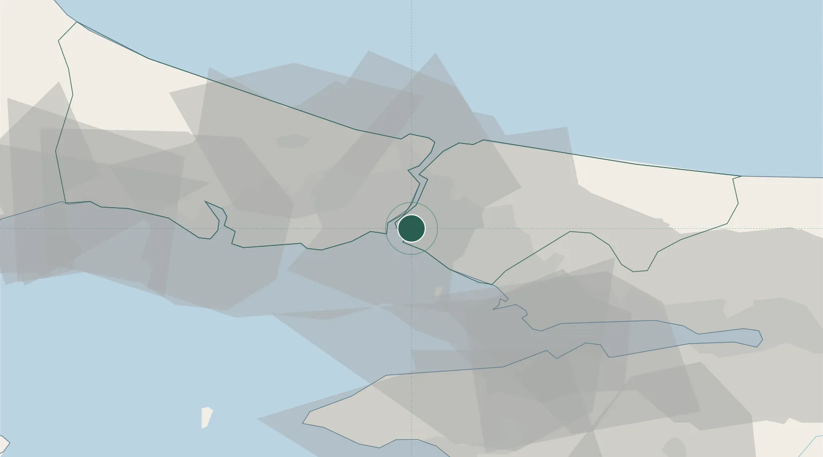
Nearby Logistics Neighbours

Cities
  1. 1Haydarpasa3 km
  2. 2Beylerbeyi4 km
  3. 3Kiziltoprak4 km
  4. 4Kabatas5 km
  5. 5Besiktas5 km
Nearest neighbours — logibook spatial index (haversine) over the source coordinates
Ports
  1. 1Haydarpasa3 km
  2. 2Istanbul7 km
  3. 3Istinye11 km
  4. 4Ambarli30 km
  5. 5Gebze50 km
Nearest neighbours — logibook spatial index (haversine) over the source coordinates
Airports
  1. 1İstanbul Samandıra Army Air Base14 km
  2. 2İstanbul Atatürk Airport20 km
  3. 3Istanbul Sabiha Gökçen International Airport25 km
  4. 4İstanbul Airport39 km
  5. 5Cengiz Topel Airport92 km
Nearest neighbours — logibook spatial index (haversine) over the source coordinates
Trade Zones
  1. 1Istanbul Stock Exchange Free Zone10 km
  2. 2Istanbul Atatürk Airport Free Zone21 km
  3. 3Istanbul Leather Industry Free Zone32 km
  4. 4Gebze Organized Industrial Zone37 km
  5. 5TUBITAK Technology Free Zone and Technopark42 km
Nearest neighbours — logibook spatial index (haversine) over the source coordinates
DatabookThe Record of Consolidated Knowledge
Türkiye beyond logistics?
Browse databook

All Sources

LocationsUN/LOCODE
UN/LOCODE — free
Portsthe NGA World Port Index
Public domain (US gov)
AirportsOurAirports
Public domain
Trade Zonesthe World Bank SEZ database
CC BY 4.0
Trade ZonesOpen Zone Map
CC BY
← Türkiye locations