Transport Functions
Rail
Road
Hub Profile
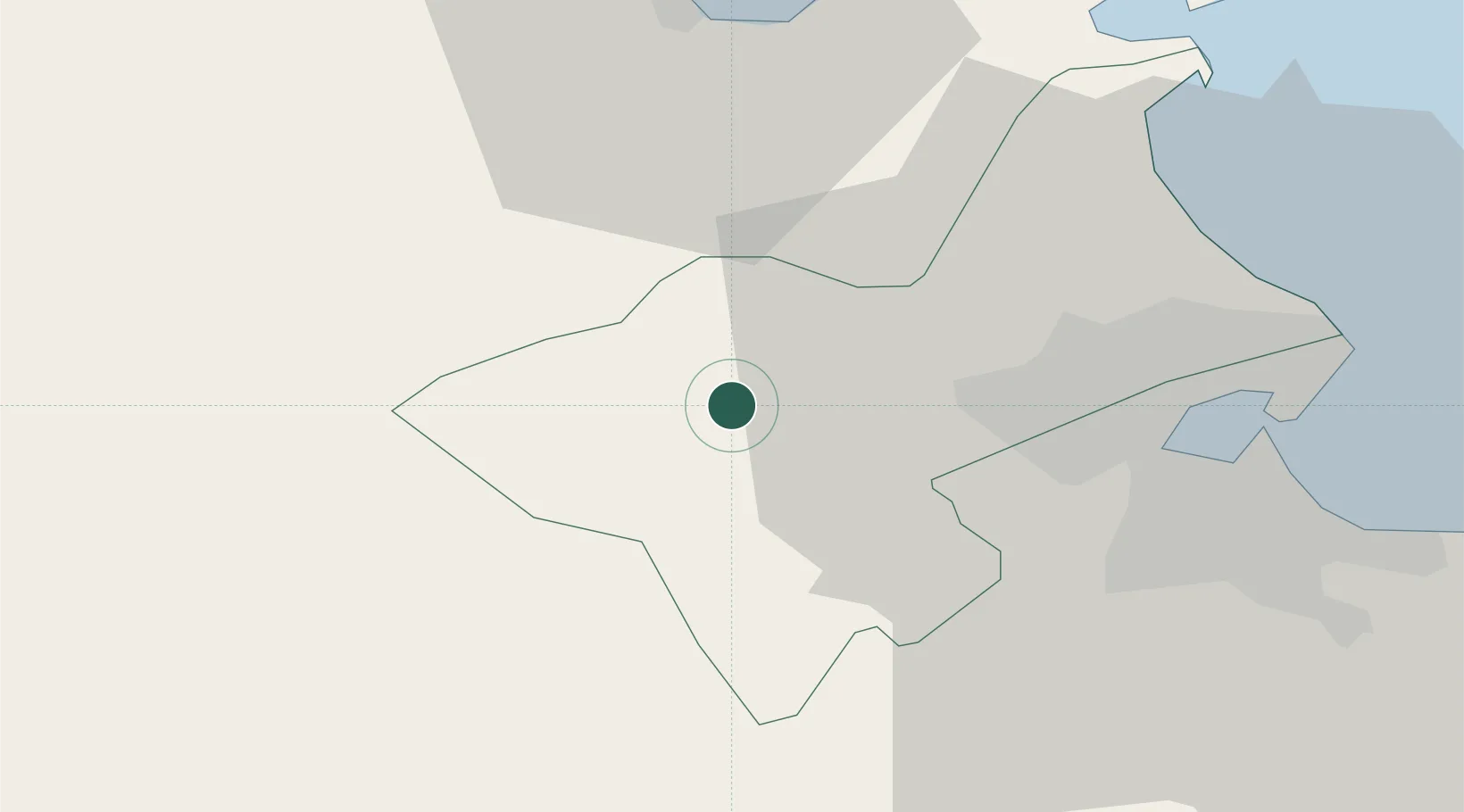
Place type
Populated place
Region
Manouba
Population
27,545
Time zone
Africa/Tunis
Elevation
31 m
Location
Nearby Logistics Neighbours
Cities
- 1Ariana31 km
- 2Lafayette/Tunis31 km
- 3La Soukra37 km
- 4Tunis39 km
- 5Radès39 km
Ports
- 1Menzel Bourguiba35 km
- 2Tunis37 km
- 3Rades42 km
- 4La Goulette42 km
- 5Banzart50 km
Airports
Trade Zones
DatabookThe Record of Consolidated Knowledge
Tunisia beyond logistics?