About
Methodology
Sources
Licensing
English
EN
English
TR
Türkçe
DE
Deutsch
FR
Français
ES
Español
IT
Italiano
PT
Português
NL
Nederlands
PL
Polski
RU
Русский
UK
Українська
CS
Čeština
RO
Română
EL
Ελληνικά
BG
Български
AR
العربية
FA
فارسی
UR
اردو
HI
हिन्दी
BN
বাংলা
ID
Bahasa Indonesia
VI
Tiếng Việt
ZH
中文
JA
日本語
KO
한국어
logibook
/
Countries
/
Tunisia
/
Locations
/
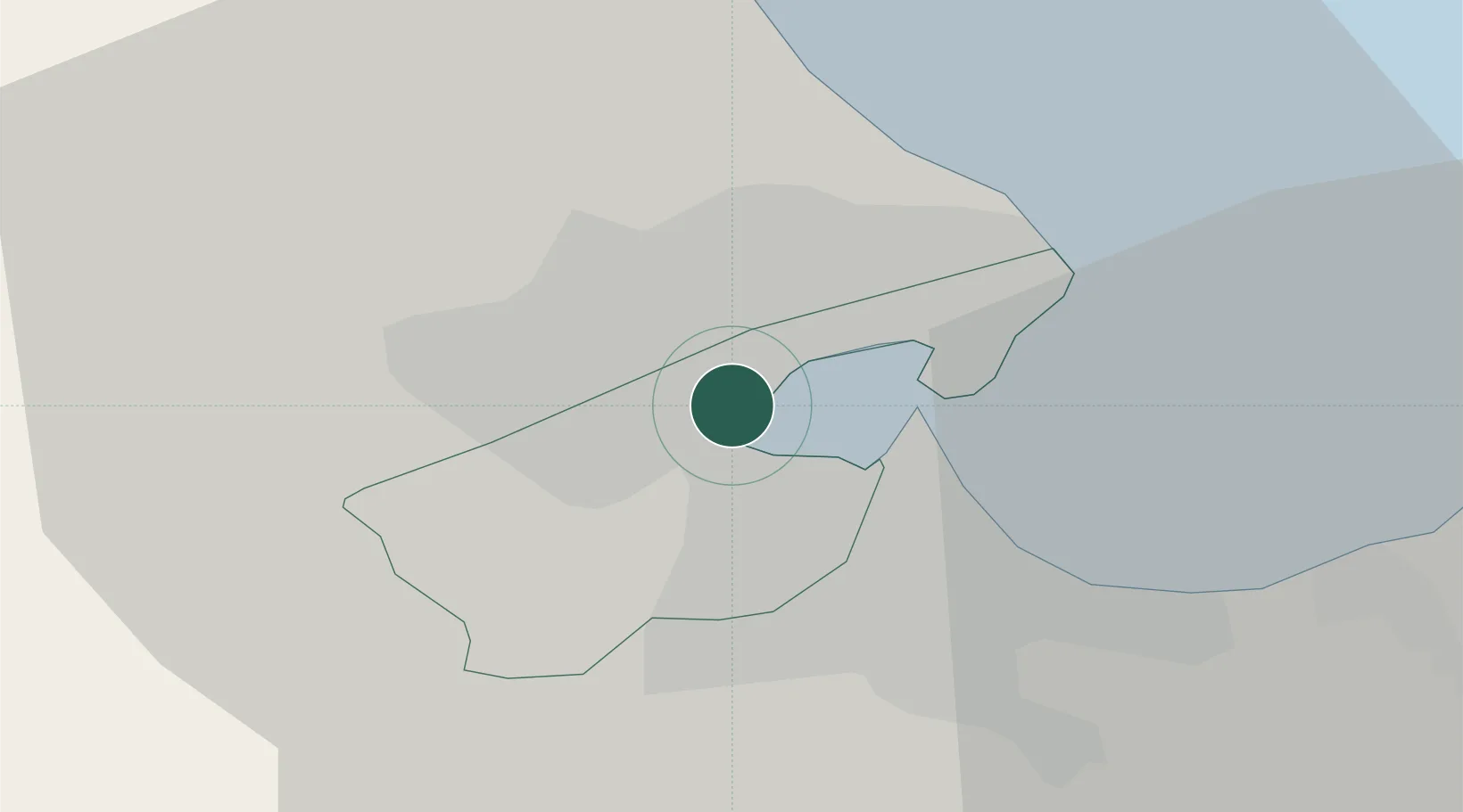
Lafayette/Tunis
UN/LOCODE hub ·
Tunisia
TN
LYT
Lafayette/Tunis
36.8167°, 10.1833°
1
Transport functions
Transport Functions
Multimodal
UN/LOCODE
Hub Profile
Region
11
GeoNames
Location
Natural Earth 10m (public domain) · 11 · TNLYT · 36.82, 10.18
Google ↗
OSM ↗
Yandex ↗
Nearby Logistics Neighbours
Cities
1
Ariana
4 km
2
Radès
8 km
3
La Soukra
8 km
4
Tunis
8 km
5
Le Kram
12 km
Nearest neighbours — logibook spatial index (haversine) over the source coordinates
Ports
1
Tunis
6 km
2
Rades
10 km
3
La Goulette
11 km
4
Menzel Bourguiba
50 km
5
Banzart
58 km
Nearest neighbours — logibook spatial index (haversine) over the source coordinates
Airports
1
Tunis Carthage International Airport
6 km
2
Bizerte Sidi Ahmed Air Base
59 km
3
Enfidha - Hammamet International Airport
86 km
4
Tabarka-Aïn Draham International Airport
118 km
5
Monastir Habib Bourguiba International Airport
128 km
Nearest neighbours — logibook spatial index (haversine) over the source coordinates
Trade Zones
1
Bizerte Park of Economic Activities
58 km
2
Free Zone of Portovesme
305 km
3
Sicily Special Economic Zone Area
372 km
4
Zarzis Park of Economic Activities
380 km
5
Malta Freeport
406 km
Nearest neighbours — logibook spatial index (haversine) over the source coordinates
Data
book
The Record of Consolidated Knowledge
Tunisia beyond logistics?
Browse databook
→
All Sources
Locations
UN/LOCODE
UN/LOCODE — free
↗
Ports
the NGA World Port Index
Public domain (US gov)
↗
Airports
OurAirports
Public domain
↗
Trade Zones
the World Bank SEZ database
CC BY 4.0
↗
Trade Zones
Open Zone Map
CC BY
↗
← Tunisia locations