UN/LOCODE hub · Tunisia
TNLSA

La Soukra

36.8667°, 10.2500°
1
Transport functions

Transport Functions

Multimodal
UN/LOCODE

Hub Profile

Region
12
GeoNames

Location

Location of TNLSA
Natural Earth 10m (public domain) · 12 · TNLSA · 36.87, 10.25GoogleOSMYandex

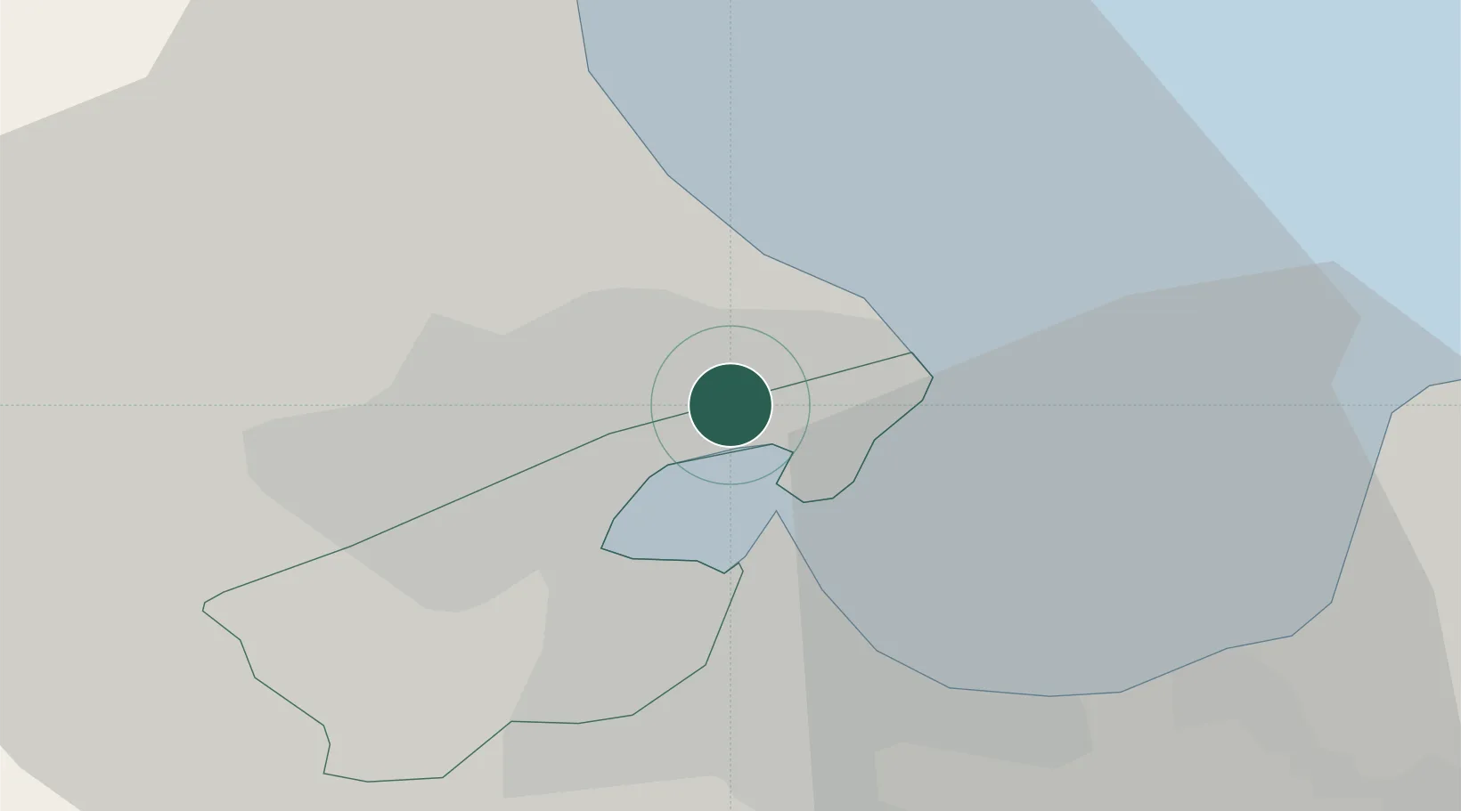
Nearby Logistics Neighbours

Cities
  1. 1Ariana6 km
  2. 2Le Kram7 km
  3. 3Al Marsá8 km
  4. 4Radès8 km
  5. 5Lafayette/Tunis8 km
Nearest neighbours — logibook spatial index (haversine) over the source coordinates
Ports
  1. 1Rades7 km
  2. 2Tunis7 km
  3. 3La Goulette9 km
  4. 4Menzel Bourguiba51 km
  5. 5Banzart57 km
Nearest neighbours — logibook spatial index (haversine) over the source coordinates
Trade Zones
  1. 1Bizerte Park of Economic Activities56 km
  2. 2Free Zone of Portovesme304 km
  3. 3Sicily Special Economic Zone Area365 km
  4. 4Zarzis Park of Economic Activities384 km
  5. 5Malta Freeport401 km
Nearest neighbours — logibook spatial index (haversine) over the source coordinates
DatabookThe Record of Consolidated Knowledge
Tunisia beyond logistics?
Browse databook

All Sources

LocationsUN/LOCODE
UN/LOCODE — free
Portsthe NGA World Port Index
Public domain (US gov)
AirportsOurAirports
Public domain
Trade Zonesthe World Bank SEZ database
CC BY 4.0
Trade ZonesOpen Zone Map
CC BY
← Tunisia locations