Seaport · Tunisia
TunisTNTUN
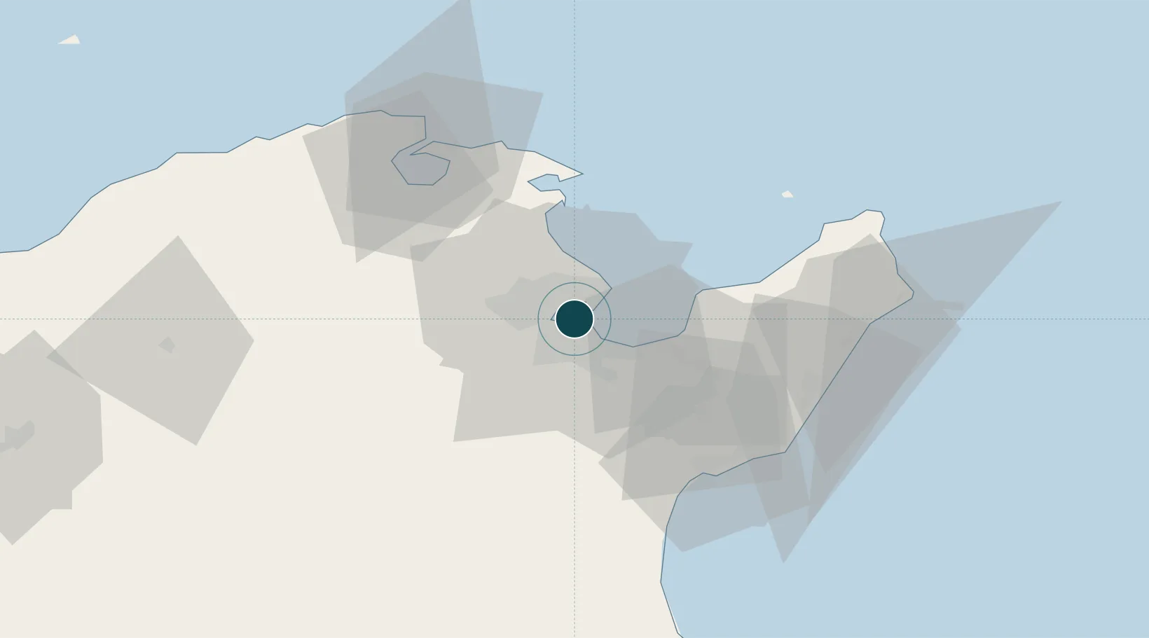
36.8000°, 10.2500°
6.4 m
Channel depth
1
Container terminals
8.8
Port liner connectivity
Channel & Berth Profile
Pilotage, Tugs & Services
Pilotage compulsoryYES
Pilotage advisableYES
Tug assistanceYES
Salvage tugsYES
Shore powerYES
Potable waterYES
Diesel bunkersYES
MedicalYES
Garbage disposalYES
Facilities & Capabilities
Container—
Ro-Ro—
Liquid bulk—
Dry bulk—
Oil terminal—
Break bulk—
Dry dock—
RepairsNO
BunkeringYES
Rail link—
Dangerous cargo—
ISPS security—
Harbour Specifications
Harbour size
Medium
Harbour type
Canal or Lake
Shelter
Good
Water body
Mediterranean Sea; North Atlantic Ocean
Overhead limit
Yes
Pilotage
Yes
Liner Connectivity
8.8
PLSCI
Port Liner Shipping Connectivity Index for Tunis, as published by UNCTAD for the latest available quarter. Higher values indicate stronger scheduled liner-shipping integration.
Shown relative to the highest per-port PLSCI in the dataset (1,657.9).
Location
Container Terminals · 1
RADES PORT
RAPO OFFICE DE LA MARINE MARCHANDE ET DES PORTS (OMMP)
Nearby Logistics Neighbours
Ports
- 1La Goulette5 km
- 2Rades5 km
- 3Menzel Bourguiba56 km
- 4Banzart63 km
- 5Sousse113 km
Cities
- 1Radès2 km
- 2Lafayette/Tunis6 km
- 3Le Kram7 km
- 4La Soukra7 km
- 5Ariana8 km
Airports
Trade Zones
DatabookThe Record of Consolidated Knowledge
Tunisia beyond logistics?