Medium airport · Tunisia

Monastir Habib Bourguiba International AirportDTMB
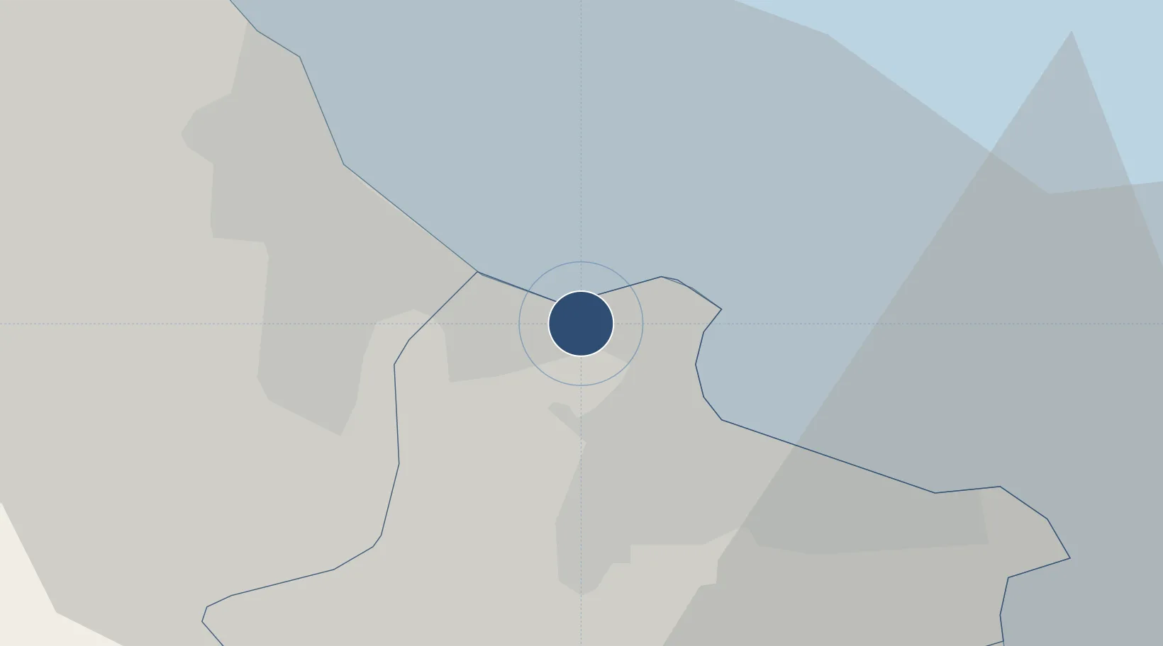
35.7581°, 10.7547°
9,678 ft
Longest runway
1
Runways
9 ft
Elevation

Runway & Layout

Monastir Habib Bourguiba International Airport runway & taxiway layout
Runway & taxiway layout — OpenStreetMap (ODbL) / OurAirports

Radio Frequencies

ATIS
113.1 MHz
MONASTIR ATIS
TWR
118.3 MHz
BOURGUIBA TWR
APP
119.3 MHz
BOURGUIBA APP
OurAirports

Navaids

MON VOR-DME Monastir 113.10 MHz
OurAirports

Runways · 1

RunwayDimensions SurfaceTrue headingLit
07/25 9,678 × 148ft Asphalt 074°
OurAirports

Airport Specifications

IATA code
MIR
OurAirports
ICAO code
DTMB
OurAirports
Airport class
Medium airport
OurAirports
Scheduled service
Yes
OurAirports
Runway surface
Asphalt
OurAirports
Served city
Monastir
OurAirports

Location

Location of DTMB
Natural Earth 10m (public domain) · Monastir · DTMB · 35.76, 10.75GoogleOSMYandex

Nearby Logistics Neighbours

Airports
  1. 1Enfidha - Hammamet International Airport45 km
  2. 2Sfax Thyna International Airport116 km
  3. 3Tunis Carthage International Airport130 km
  4. 4Pantelleria Airport160 km
  5. 5Lampedusa Airport171 km
Nearest neighbours — logibook spatial index (haversine) over the source coordinates
Cities
  1. 1Sahline5 km
  2. 2Sousse11 km
  3. 3Ksibet el Médiouni12 km
  4. 4Bu Hajar13 km
  5. 5Bu Mirdas34 km
Nearest neighbours — logibook spatial index (haversine) over the source coordinates
Ports
  1. 1Sousse13 km
  2. 2Mahdia40 km
  3. 3Mersa Sfax114 km
  4. 4La Goulette123 km
  5. 5Tunis124 km
Nearest neighbours — logibook spatial index (haversine) over the source coordinates
Trade Zones
  1. 1Bizerte Park of Economic Activities186 km
  2. 2Zarzis Park of Economic Activities255 km
  3. 3Ben Guerdane Economic Free Zone300 km
  4. 4Zwara-Abu-Kemmash Free Trade Zone335 km
  5. 5Malta Freeport341 km
Nearest neighbours — logibook spatial index (haversine) over the source coordinates
DatabookThe Record of Consolidated Knowledge
Tunisia beyond logistics?
Browse databook

All Sources

AirportsOurAirports
Public domain
Portsthe NGA World Port Index
Public domain (US gov)
LocationsUN/LOCODE
UN/LOCODE — free
Trade Zonesthe World Bank SEZ database
CC BY 4.0
Trade ZonesOpen Zone Map
CC BY
InfrastructureOpenStreetMap
ODbL 1.0
← Tunisia airports