Medium airport · Tunisia

Enfidha - Hammamet International AirportDTNH
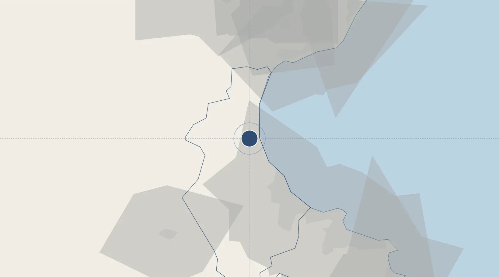
36.0758°, 10.4386°
10,827 ft
Longest runway
1
Runways
21 ft
Elevation

Runway & Layout

Enfidha - Hammamet International Airport runway & taxiway layout
Runway & taxiway layout — OpenStreetMap (ODbL) / OurAirports

Radio Frequencies

ATIS
136.3 MHz
Tower
118.55 MHz
OurAirports

Runways · 1

RunwayDimensions SurfaceTrue headingLit
09/27 10,827 × 197ft ASPH 090°
OurAirports

Airport Specifications

IATA code
NBE
OurAirports
ICAO code
DTNH
OurAirports
Airport class
Medium airport
OurAirports
Scheduled service
Yes
OurAirports
Runway surface
ASPH
OurAirports
Served city
Enfidha
OurAirports

Location

Location of DTNH
Natural Earth 10m (public domain) · Sousse · DTNH · 36.08, 10.44GoogleOSMYandex

Nearby Logistics Neighbours

Airports
  1. 1Monastir Habib Bourguiba International Airport45 km
  2. 2Tunis Carthage International Airport88 km
  3. 3Bizerte Sidi Ahmed Air Base142 km
  4. 4Sfax Thyna International Airport153 km
  5. 5Pantelleria Airport160 km
Nearest neighbours — logibook spatial index (haversine) over the source coordinates
Cities
  1. 1Zriba33 km
  2. 2Sousse36 km
  3. 3Al Hammamat39 km
  4. 4Sahline43 km
  5. 5Zaghouan44 km
Nearest neighbours — logibook spatial index (haversine) over the source coordinates
Ports
  1. 1Sousse33 km
  2. 2La Goulette82 km
  3. 3Tunis82 km
  4. 4Rades83 km
  5. 5Mahdia86 km
Nearest neighbours — logibook spatial index (haversine) over the source coordinates
Trade Zones
  1. 1Bizerte Park of Economic Activities142 km
  2. 2Zarzis Park of Economic Activities295 km
  3. 3Ben Guerdane Economic Free Zone342 km
  4. 4Malta Freeport370 km
  5. 5Zwara-Abu-Kemmash Free Trade Zone379 km
Nearest neighbours — logibook spatial index (haversine) over the source coordinates
DatabookThe Record of Consolidated Knowledge
Tunisia beyond logistics?
Browse databook

All Sources

AirportsOurAirports
Public domain
Portsthe NGA World Port Index
Public domain (US gov)
LocationsUN/LOCODE
UN/LOCODE — free
Trade Zonesthe World Bank SEZ database
CC BY 4.0
Trade ZonesOpen Zone Map
CC BY
InfrastructureOpenStreetMap
ODbL 1.0
← Tunisia airports